What is recorded here
Fairy fort in Rahood, County Meath: a 60-metre earthen ring on a rise, its bank partly quarried but still throwing a shadow across the grass. People may have lived there, loved there, raged and buried one another inside the circle before forgetting the names of its doors.
Situated on a rise in an undulating landscape. This is a circular grass-covered area (diam. 60.3m NNE-SSW; 60.3m NW-SE) defined by the remains of an earthen bank (Wth of base 5m; int. H 0.4m; ext. H 2.4-3.3m) with some bushes NNE-E but reduced to a scarp generally (at SSW (Wth 7m; H 3.2m) or quarried SW-NW. There is an outer fosse that can be distinguished from the bank (Wth of top 8-10m; Wth of base 3-5m; ext. D 1m) best preserved NW-E-SE. There is a small section of an outer bank (Wth of base 5m; int. H 1.8m; ext. H 0.65m), largely incorporated into a road bank, NW-N. The original entrance is not identified but it may have been at S.
The above description is derived from the published 'Archaeological Inventory of County Meath' (Dublin: Stationery Office, 1987). In certain instances the entries have been revised and updated in the light of recent research.
Compiled by: Michael Moore
Date of revision: 5 September 2018
Amended: 14 December 2022
The monument record does not grant public access. Check the route and ask the landowner before entering private land.
- What survives
- Recorded monument
Places near here
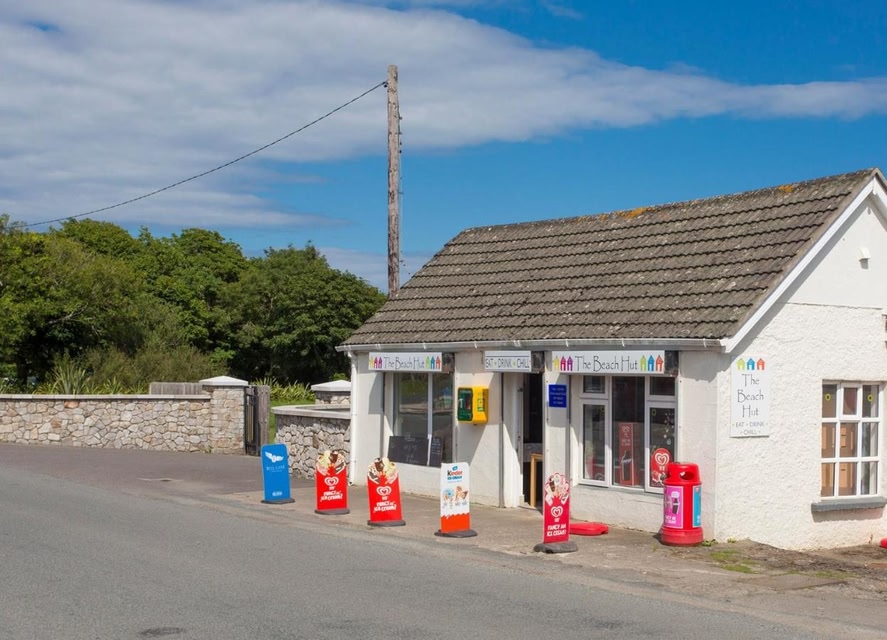 LIssanardFairy fort / earthen ringfort · 1066 yd
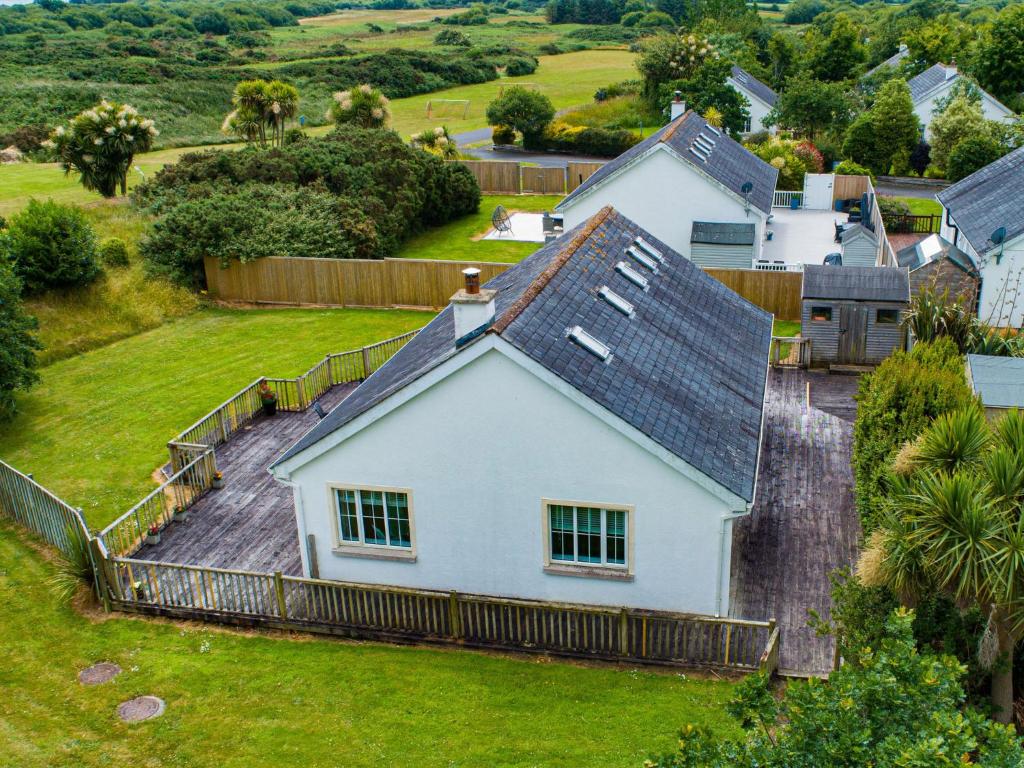 IndicatedFairy fort / earthen ringfort · 1102 yd
 Common LimeCommon Lime · 1462 yd
 Cherburg WoodForest · 1553 yd
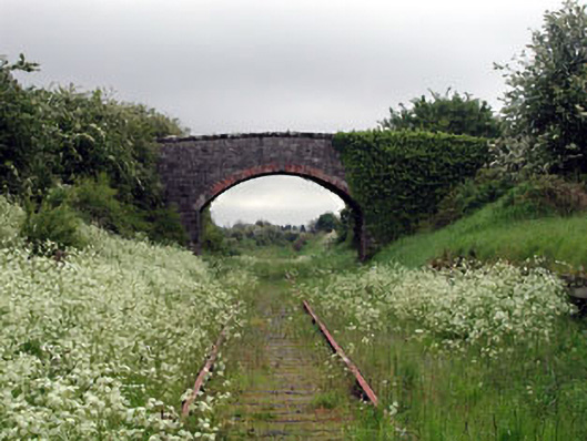 bridgebridge · 1.1 mi
 Nobber GreenwayMemorial · 1.1 mi
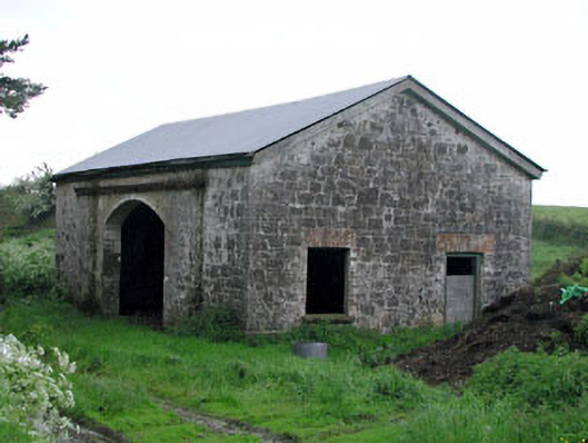 Nobber Railway Stationstore/warehouse · 1.1 mi
 MoatCastle, motte and bailey · 1.2 mi
 HeadstownMountain / peak · 1.4 mi
 Gallows HillMountain / peak · 1.5 mi
 Bawn in Robertstown (kells Lower By.)Bawn · 1.9 mi
 Owenroe and Moynalty DrainageMemorial · 2.4 mi