What is recorded here
Fairy fort in Rahood, County Meath: a low earthen ring on a ridge, with a shallow cut and outer bank still marking its edge. People may have lived there, kept stock, or simply avoided the place because it felt owned by something else. The earth keeps the shape even when the story goes thin.
Situated on a low E-W ridge with a small W-E valley and stream just to the N. This is a raised oval and grass-covered area (dims 35m E-W; 22.8m N-S) defined by slight traces of a bank (at ENE: Wth of base 6m; int. H 0.4m; ext. H 2.1m) ENE-E that is largely reduced to a scarp (at ESE: Wth 5m; H 1.9m) separated by a fosse (Wth of top 8.5-9m; Wth of base 2.5m; ext. D 0.7-1.3m) from an outer bank (at ENE: Wth of base 4.4m; ext. H 1.2m) with a few bushes. There is an entrance through the inner (Wth of base 2.1m) and outer banks and a causeway (Wth of top 2.6m; H 0.7m) at E.
The above description is derived from the published 'Archaeological Inventory of County Meath' (Dublin: Stationery Office, 1987). In certain instances the entries have been revised and updated in the light of recent research.
Compiled by: Michael Moore
Date of revision: 5 September 2018
The monument record does not grant public access. Check the route and ask the landowner before entering private land.
- What survives
- Recorded monument
Places near here
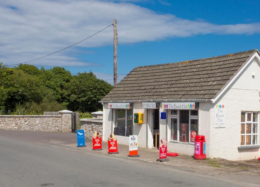 LIssanardFairy fort / earthen ringfort · 799 yd
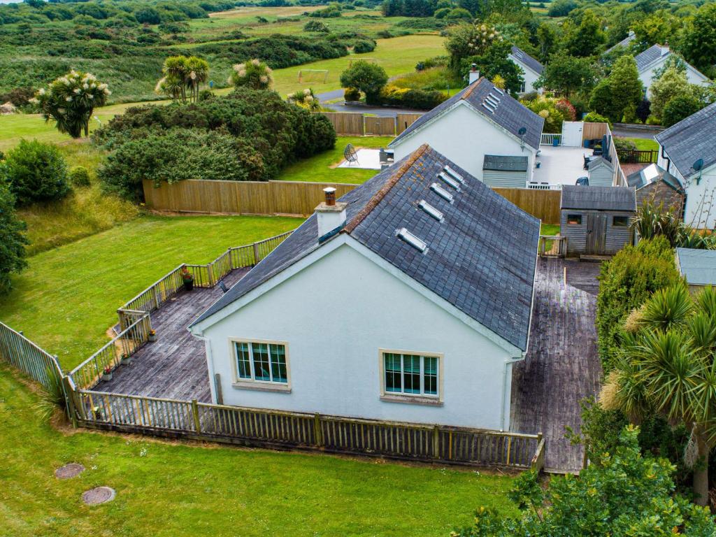 IndicatedFairy fort / earthen ringfort · 843 yd
 Common LimeCommon Lime · 1172 yd
 Cherburg WoodForest · 1289 yd
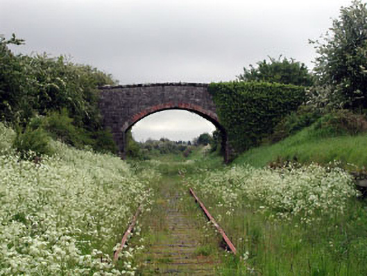 bridgebridge · 1683 yd
 Nobber GreenwayMemorial · 1706 yd
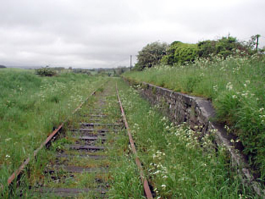 Nobber Railway Stationplatform · 1714 yd
 MoatCastle, motte and bailey · 1.1 mi
 Gallows HillMountain / peak · 1.4 mi
 HeadstownMountain / peak · 1.5 mi
 Bawn in Robertstown (kells Lower By.)Bawn · 2.0 mi
 Owenroe and Moynalty DrainageMemorial · 2.5 mi