What is recorded here
Located on a level landscape. The cropmark of a subcircular enclosure (dims c. 40m x c. 35m) defined by a single fosse feature is visible on aerial photograph (CUCAP, BDO 72). It is not visible at ground level in a harvested cereal crop, but it is visible on the photographs of Google Earth (2010) and on (MM (29) 12-14). Rath (WX040-081----) is c. 140m to the SE.
The above description is derived from the published 'Archaeological Inventory of County Wexford' (Dublin: Stationery Office, 1996). In certain instances the entries have been revised and updated in the light of recent research.
Compiled by: Michael Moore
Date of upload/revision: 21 February, 2013
The monument record does not grant public access. Check the route and ask the landowner before entering private land.
- What survives
- Recorded monument
Places near here
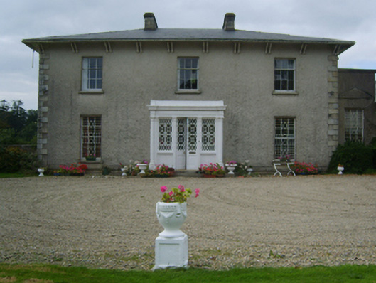 Raheenduff Housecountry house · 504 yd
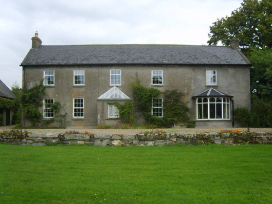 Dalton Cottagefarm house · 508 yd
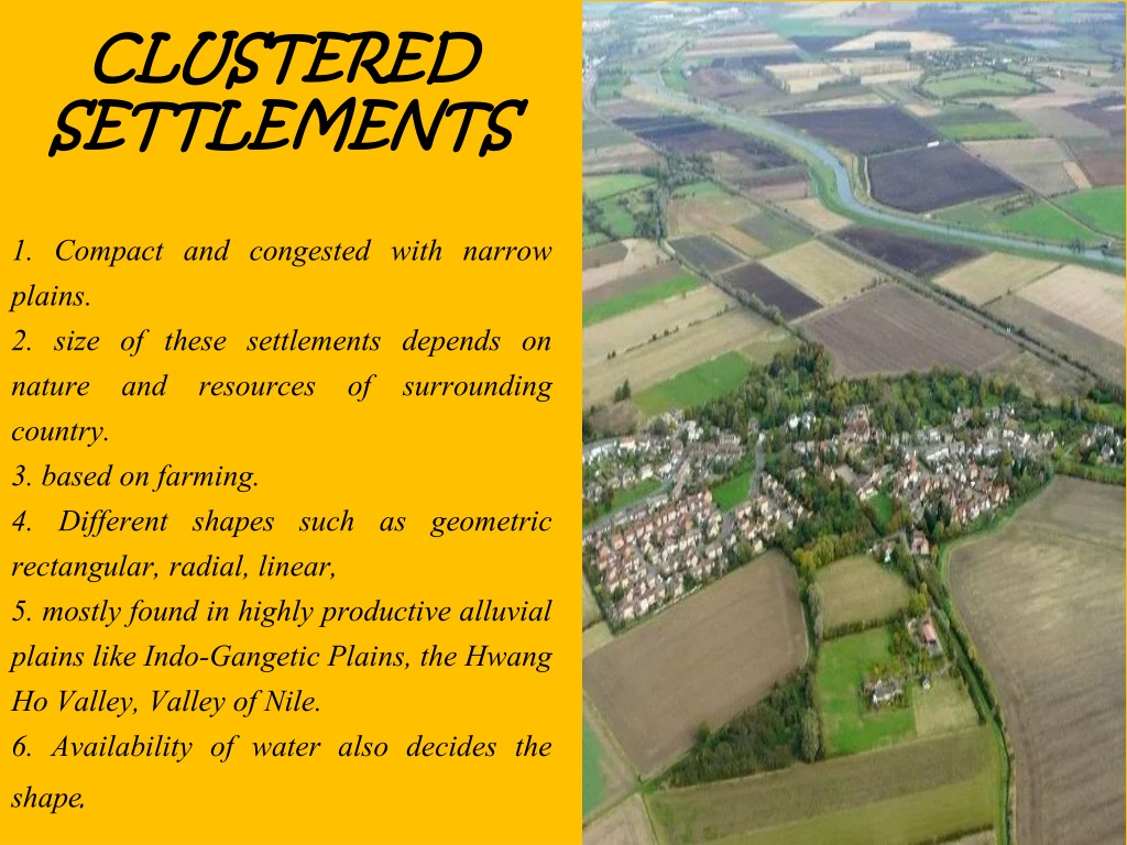 Settlement cluster in CoolcliffeSettlement cluster · 1.1 mi
 Field system in RosspileField system · 1.2 mi
 CastleCastle, tower house · 1.4 mi
 Coolcliffe HouseRuins · 1.4 mi
 Bawn in Tracystown WestBawn · 1.8 mi
 Carrickbyrne HillMountain / peak · 4.1 mi
 Camaross HillMountain / peak · 4.8 mi
 Glenour MonumentMemorial · 5.2 mi
 Lockheed Hudson AM885 MemorialMemorial · 5.2 mi
 Carrig-On-BannowVisitor information · 5.4 mi