What is recorded here
Situated on a level landscape. The cropmark of a circular enclosure (diam. c. 40m) defined by a single fosse featue is visible on aerial photographs (MM (16) 27–30). it is also paritally visible on the OSI series of aerial photographs (2000).
The aobve description is derived from the published 'Archaeological Inventory of County Wexford' (Dublin: Stationery Office, 1996). In certain instances the entries have been revised and updated in the light of recent research.
Compiled by: Michael Moore
Date of upload/revision: 13 April, 2012
Amended: 13 May, 2014
The monument record does not grant public access. Check the route and ask the landowner before entering private land.
- What survives
- Recorded monument
Places near here
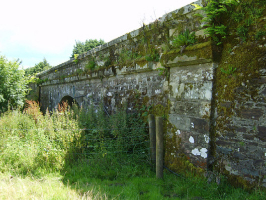 bridgebridge · 962 yd
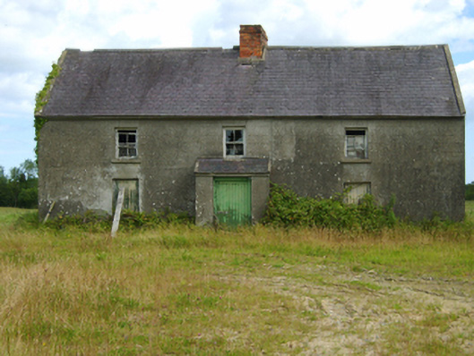 farm housefarm house · 1231 yd
 Barnadown WoodWood · 1.1 mi
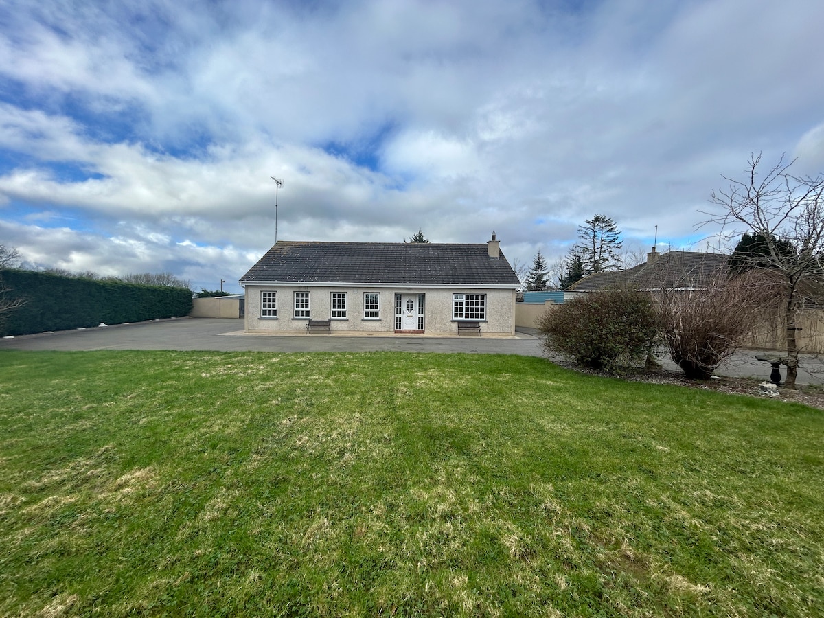 Enclosure in Barnadown LowerEnclosure · 1.3 mi
 Ballyminaun HillMountain / peak · 1.7 mi
 Carriganeagh RockMountain / peak · 1.7 mi
 Enclosure in BallinageelogeEnclosure · 1.9 mi
 1798 MonumentMemorial · 3.4 mi
 Market HouseHeritage attraction · 3.5 mi
 1798 MemorialMemorial · 4.2 mi
 Shrule Deer FarmHeritage attraction · 5.1 mi
 Giants BedNamed rock · 5.3 mi