What is recorded here
Fairy fort in Rahans, County Mayo: a raised circular area twenty-seven to twenty-nine metres across, bordered partly by earthen bank and partly by scarp, set on the east side of a ridge above damp pasture reaching toward the River Moy. The name suggests people once believed the fairies lived there, while the shape suggests humans made a boundary, perhaps for a home, a shrine or a gathering place. Brambles still fill the north half, and ash and hawthorn mark the edge, keeping the fort half-hidden in the ordinary field.
In pasture, located close to break of slope on E side of a ridge, overlooking an expanse of damp, low-lying pasture, which stretches 500m E to the banks of the River Moy.
Raised circular area (27m E-W; 29m N-S) defined NW–NE by an earthen bank (Wth 4.9m; int. H 1.1m; ext. H 1.9m at NNW), and elsewhere by a scarp (H 1m at S) with a broad external slope (Wth slope 5m). Outside the bank at N-NE there is a depression (Wth 3.5m; D 0.6m), which may be an original fosse, but there is no evidence for its continuation elsewhere around the circuit. There is a broad break (Wth c. 6m) in the bank at W. The interior is level; brambles cover much of the north half. The rath perimeter is ringed with ash and hawthorn trees.
There is an enclosure (MA039-023----) 250m downslope to NNE.
Compiled by: Jane O’Shaughnessy
Date of upload: 27 January 2020
The monument record does not grant public access. Check the route and ask the landowner before entering private land.
- What survives
- Recorded monument
Places near here
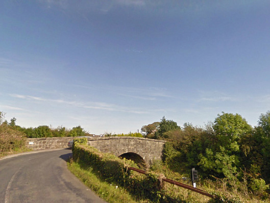 bridgebridge · 1096 yd
 IndicatedFairy fort / earthen ringfort · 1481 yd
 Dolmen of the four MaolsArchaeological place · 1747 yd
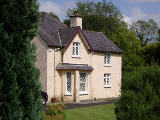 Woodbine Househouse · 1.1 mi
 CastleCastle, unclassified · 1.1 mi
 Humbert MonumentMemorial · 1.6 miBattle of Ballinabattle · 1.6 mi
 Gull IslandIslet · 1.9 mi
 Belleck CastleCastle, unclassified · 2.0 mi
 The Marshall Doran CollectionGallery · 2.8 mi
 Belleek WoodsWood · 3.0 mi
 FloretteWreck · 3.1 mi