What is recorded here
No visible entrance, no central feature, no distinguishing mark. It is a lost fort, perhaps belonging to a forgotten chief. The land swallowed the boundary between then and now. What remains is a hole in the ground where human ambition failed to resist time.
Located towards the top of the N-facing slope of a NW-SE drumlin ridge. This is a subcircular grass and scrub-covered area (dims c. 28m E-W; 25m N-S) that slopes down steeply to the N (H 2m) which is defined by an overgrown earthen bank (at S: Wth 4.4m; int. H 1.4m; ext. H 0.9m) E-S-W with slight traces of external fosse at SE. The perimeter is largely reduced to an overgrown external scarp (at N: Wth 4.4m; int. H 0.1m; ext. H 2.2m) on the downslope side W-N-E. An entrance gap at SE might be the original entrance. There is a well outside the perimeter at ESE.
The above description is derived from the published 'Archaeological Inventory of County Monaghan' (Dublin: Stationery Office, 1986). In certain instances the entries have been revised and updated in the light of recent research.
Date of revision: 28 July 2017
The monument record does not grant public access. Check the route and ask the landowner before entering private land.
- What survives
- Recorded monument
Places near here
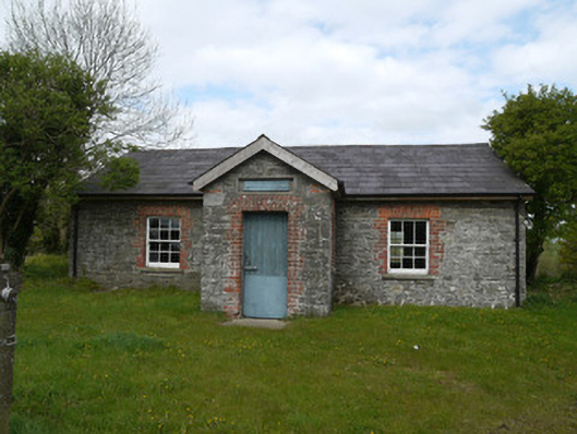 Drumlusty National Schoolschool · 804 yd
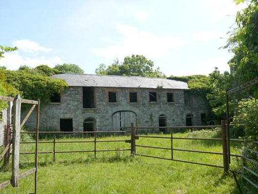 Capraghoutbuilding · 934 yd
 Man-made underground passage in RossdreenaghMan-made underground passage · 1256 yd
 Grave YardGraveyard · 1678 yd
 Mannan Castle (in ruins)Castle, Anglo-Norman masonry castle · 1.4 mi
 Horse-chestnutHorse-chestnut · 2.8 mi
 TobernagalliaghSpring · 2.8 mi
 European BeechEuropean Beech · 3.4 mi
 KnockreaghMountain / peak · 4.5 mi
 Gully IslandIslet · 6.4 mi
 RathneestinCastle, tower house · 6.5 mi
:no_upscale()/cdn.vox-cdn.com/uploads/chorus_asset/file/25593391/County_Louth_6th.jpg) LouthMountain / peak · 6.6 mi
LouthMountain / peak · 6.6 mi