What is recorded here
No visible entrance remains on the 62-metre grass circle, though a broad bank still traces part of the west and north-east edge. The missing gateway does not mean the fort was closed; it means memory and soil have smoothed the place where people entered.
Situated on a low rise in a low-lying landscape between drumlins. This is a large circular grass-covered area (diam. 62m NNW-SSE; 57m ENE-WSW) defined by a slight earthen bank and outer fosse re-cut as a drain SSW-W and by a broad bank W-NE which is reduced to a scarp elsewhere. The original entrance is not identified. The interior is cut by a NE-SE field bank towards the perimeter at S and the monument barely survives S of this feature.
The above description is derived from the published 'Archaeological Inventory of County Monaghan' (Dublin: Stationery Office, 1986). In certain instances the entries have been revised and updated in the light of recent research.
Date of revision: 11 December 2017
The monument record does not grant public access. Check the route and ask the landowner before entering private land.
- What survives
- Recorded monument
Places near here
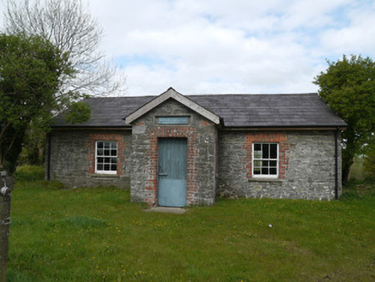 Drumlusty National Schoolschool · 602 yd
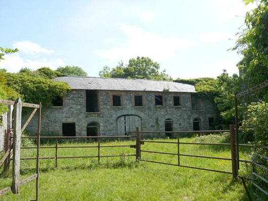 Capraghoutbuilding · 1102 yd
 Man-made underground passage in RossdreenaghMan-made underground passage · 1538 yd
 Grave YardGraveyard · 1663 yd
 Mannan Castle (in ruins)Castle, Anglo-Norman masonry castle · 1.4 mi
 TobernagalliaghSpring · 2.8 mi
 Horse-chestnutHorse-chestnut · 2.9 mi
 European BeechEuropean Beech · 3.5 mi
 KnockreaghMountain / peak · 4.3 mi
 Fincarn HillMountain / peak · 5.7 mi
 Gully IslandIslet · 6.3 mi
 RathneestinCastle, tower house · 6.6 mi