What is recorded here
Fairy forts in Rahandrick Upper are earthen rings, not magical palaces. This one measures thirty-eight metres across, with a bank and ditch that still hold their shape in the undulating countryside. No entrance remains visible, suggesting the opening was never built or has vanished completely. People may have lived inside, farmed around it, or simply avoided it because local story called it fairy ground. The earth does not explain itself; it waits for imagination.
In undulating countryside. A circular area (diam. c. 38.6m) defined by an earthen bank (Wth c. 3.2m, int H. c. 0.7m, ext. H c. 1.4m) and external fosse (Wth c. 4m) from NE-W. No evidence of original entrance.
The above description is derived from the published 'Archaeological Inventory of County Laois' (Dublin Stationery Office, 1995) compiled by P. David Sweetman, Olive Alcock and Bernie Moran. In certain instances the entries have been revised and updated in the light of recent research.
Date of upload: 17 December 2007
The monument record does not grant public access. Check the route and ask the landowner before entering private land.
- What survives
- Recorded monument
Places near here
 Bordwell Church (in Ruins)Church · 1166 yd
 Enclosure in Bordwell LittleEnclosure · 1422 yd
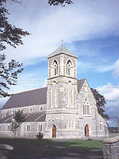 Saint Canice's Catholic Churchchurch/chapel · 1689 yd
 Enclosure in Beckfield,tinnaclohyEnclosure · 1.1 mi
 Kilbreedy CastleCastle · 1.2 mi
 Middlemount MoatCastle, motte and bailey · 1.5 mi
 European PearEuropean Pear · 2.7 mi
 Big WoodWood · 2.8 mi
 Cnoc SeanrathaMemorial · 6.3 mi
 Anker's IslandIsland · 9.0 mi
 DelaneyMemorial · 9.4 mi
 St. Bridgets Church (in Ruins)Church · 1.0 mi