What is recorded here
Fairy fort in Rahanagh, County Limerick: a level, dry circular field, 26 by 32 metres, marked by a low scarped edge and a drain at its base. Cattle have worn much of the rim, yet the clear interior and sudden boundary still read as a made place, not a random patch of grass. People may have lived, kept animals or marked territory there before the field took it back; the fort keeps only its shape now.
In level pasture. Roughly circular area (26m N-S; 32m E-W) defined by a scarped edge (H 0.8m; Wth 2.8m). Site enclosed along base of scarp by field boundary and drain ESE->WNW; elsewhere scarp is much eroded by cattle. Interior level, dry and clear of overgrowth.
Compiled by: Denis Power
Date of upload: 26 August 2011
The monument record does not grant public access. Check the route and ask the landowner before entering private land.
- What survives
- Recorded monument
Places near here
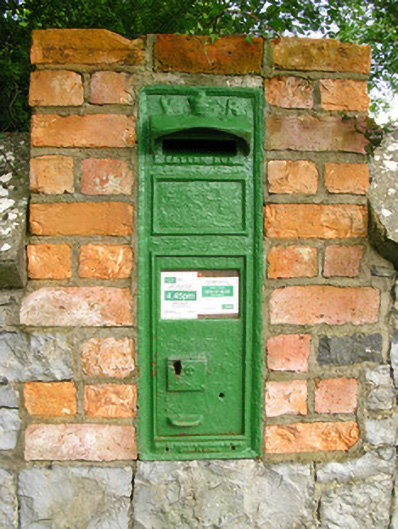 post boxpost box · 461 yd
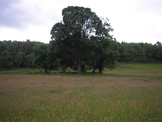 Burial GroundGraveyard · 553 yd
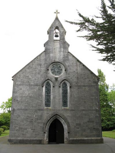 Saint Mary's Catholic Churchchurch/chapel · 555 yd
 Enclosure in GardenfieldEnclosure · 1505 yd
 Glenquin CastleCastle · 2.5 mi
 Templars Castle (in ruins)Castle, Anglo-Norman masonry castle · 2.6 mi
 Saint Ite's WellSpring · 2.7 mi
 Limerick GreenwayWalking route · 3.3 mi
 Sugar HillMountain / peak · 3.4 mi
 TobereenalaffinaSpring · 3.5 mi
 Ballagh MountainMountain / peak · 3.7 mi
 Mullaghareirk - Banane LoopWalking route · 7.6 mi