What is recorded here
Thirty metres of earth and stone circle the low grassland at Rafarn, marking a rath where human hands shaped the soil before memory faded. A faint passage may still cut through the northern interior, inviting foot traffic into darkness rather than open sky. The fort keeps its shape in wet grass and quiet air, waiting for someone to walk its hidden line.
In low-lying grassland. Poorly preserved roughly circular rath (diam. c. 30m) defined by a bank
of earth and stone. Traces of a possible Man-made underground passage (GA106-143----) are evident in the N sector of the interior.
Compiled by: Galway Archaeological Survey, UCG
Date of upload: 6 March 2018
The monument record does not grant public access. Check the route and ask the landowner before entering private land.
- What survives
- Recorded monument
Places near here
 Laghtsidura or Soldiers GraveLeacht cuimhne · 321 yd
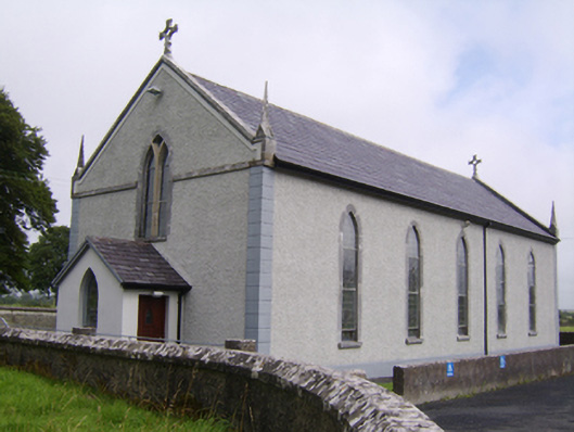 Saint Jarlath's Catholic Churchchurch/chapel · 1166 yd
 Enclosure in SrahdooEnclosure · 1351 yd
 Ballynamantragh CastleCastle, unclassified · 1509 yd
 Old R.C. Chapel (in ruins)Chapel · 1685 yd
 Kilcooly Castle (in ruins)Castle, tower house · 1.3 mi
 Dartfield Horse MuseumHeritage attraction · 2.9 mi
 Stone Islands SouthIslet · 3.4 mi
 Long PointHeadland · 3.5 mi
 Island McCooIslet · 3.7 mi
 Quarryhill WoodWood · 5.5 mi
 Bog WoodForest · 6.0 mi