What is recorded here
Fairy fort in Rafarn, County Galway: a 32-metre earthen ring on a rise above low grassland, its ancient boundary now cut by a field wall at west and north-east. The land around is flat and wet-looking, but the rath still stands slightly proud, as if refusing to drown. People may have lived there before walls were built across it, shaping the same earth into a home while the region remained open and uncertain.
On a rise in otherwise low-lying grassland. Poorly preserved roughly circular rath (diam.
c. 32m) defined by a low grassed-over bank of earth and stone. A field wall cuts through the monument at W and NE.
Compiled by: Galway Archaeological Survey, UCG
Date of upload: 6 March 2018
The monument record does not grant public access. Check the route and ask the landowner before entering private land.
- What survives
- Recorded monument
Places near here
 Laghtsidura or Soldiers GraveLeacht cuimhne · 197 yd
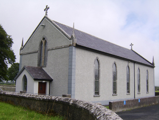 Saint Jarlath's Catholic Churchchurch/chapel · 989 yd
 Enclosure in SrahdooEnclosure · 1127 yd
 Old R.C. Chapel (in ruins)Chapel · 1464 yd
 Ballynamantragh CastleCastle, unclassified · 1559 yd
 Kilcooly Castle (in ruins)Castle, tower house · 1.3 mi
 Dartfield Horse MuseumHeritage attraction · 2.8 mi
 Stone Islands SouthIslet · 3.3 mi
 Long PointHeadland · 3.4 mi
 Island McCooIslet · 3.6 mi
 Quarryhill WoodWood · 5.6 mi
 Turoe StoneHeritage attraction · 5.8 mi