What is recorded here
Fairy forts are often called that because they are empty in the wrong way. This is a circular rath in Rafarn, about twenty-six metres across, with a low earthen bank still marking most of its edge. The northern part stands slightly higher, as if the ground remembered the shape longer there. Cattle may have walked past it for centuries, treating the ring as an ordinary ridge in the pasture.
In undulating pastureland. Circular rath (diam. 25.7m), in fair condition, defined by a bank that is visible all round but is very low from E through S to W. It is best preserved at N (Wth 0.7m; overall Wth 4.7m; int. H 0.62m; ext. H 0.64m).
Compiled by: Galway Archaeological Survey, UCG
Date of upload: 6 March 2018
The monument record does not grant public access. Check the route and ask the landowner before entering private land.
- What survives
- Recorded monument
Places near here
 Laghtsidura or Soldiers GraveLeacht cuimhne · 536 yd
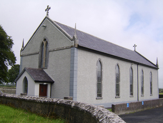 Saint Jarlath's Catholic Churchchurch/chapel · 556 yd
 Old R.C. Chapel (in ruins)Chapel · 905 yd
 Enclosure in SrahdooEnclosure · 956 yd
 Ballynamantragh CastleCastle, unclassified · 1.1 mi
 Kilcooly Castle (in ruins)Castle, tower house · 1.2 mi
 Dartfield Horse MuseumHeritage attraction · 2.5 mi
 Stone Islands SouthIslet · 3.2 mi
 Long PointHeadland · 3.3 mi
 Island McCooIslet · 3.5 mi
 Turoe StoneHeritage attraction · 5.5 mi
 Quarryhill WoodWood · 5.9 mi