What is recorded here
In pasture, located on a rise.
Shown on the 1930 OS 6-inch map as hachured circular enclosure (diam. c. 20m) located at the W end of an irregular-shaped hachured area (c. 50m E–W; c. 25-30m N–S), most likely representing a natural rise. This enclosure has been levelled. According to local information, it consisted of a slightly raised area that was fenced around, and was removed during land reclamation in the 1930’s. The field was locally known as the ‘fort field’.
Compiled by: Jane O’Shaughnessy
Date of upload: 17 April 2018
The monument record does not grant public access. Check the route and ask the landowner before entering private land.
- What survives
- Recorded monument
Places near here
 Enclosure in BallyholanEnclosure · 827 yd
 store/warehousestore/warehouse · 1176 yd
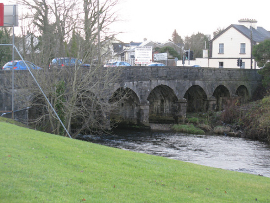 Bunree Bridgebridge · 1228 yd
 Belleck CastleCastle, unclassified · 1304 yd
 IndicatedEnclosure · 1384 yd
 FloretteWreck · 1.2 mi
 The Marshall Doran CollectionGallery · 1.2 mi
 Humbert MonumentMemorial · 1.2 mi
 Belleek WoodsWood · 1.3 mi
 CastleCastle, unclassified · 1.5 miBattle of Ballinabattle · 1.8 mi
 Rinphilip PointHeadland · 2.4 mi