What is recorded here
Fairy fort in Queensfort, County Galway: a worn earthen ring on an east-facing grass slope, likely ancient though quarrying and field banks have cut through its memory. The surviving bank curves from north-northeast through east to south-southwest, leaving two gaps that may have been doors or wounds. People may have lived there, feared there, or simply passed by and called it fairy because the shape still resisted ordinary explanation.
On an E-facing slope in grassland. Poorly preserved subcircular rath (N-S 37m) defined by a bank which survives from NNE through E to SSW. A field bank overlies the enclosing element at N. Quarrying has encroached upon the monument at W. Either of two gaps at NE and SE could be original.
The above description is derived from the published 'Archaeological Inventory of County Galway Vol. II - North Galway'. Compiled by Olive Alcock, Kathy de hÓra and Paul Gosling (Dublin: Stationery Office, 1999).
Date of upload: 05 August 2010
The monument record does not grant public access. Check the route and ask the landowner before entering private land.
- What survives
- Recorded monument
Places near here
 Brownnsgrove Housedemesne walls/gates/railings · 659 yd
 Beagh FortFairy fort / earthen ringfort · 731 yd
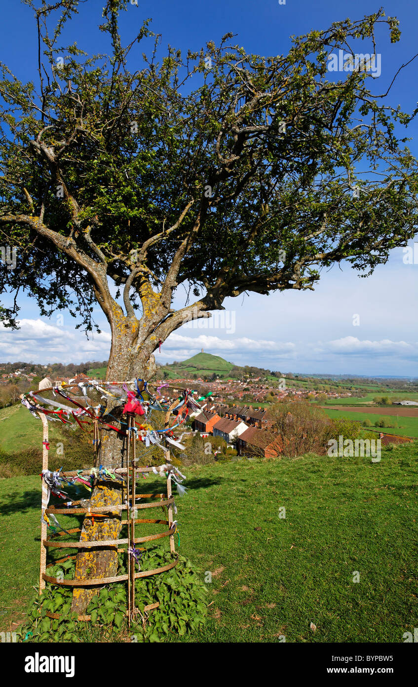 Ritual siteRitual site, holy tree/bush · 1586 yd
 Saint Patrick's Catholic Churchchurch/chapel · 1.5 mi
 Site of Doonbally CastleCastle, unclassified · 1.8 mi
 Castle (in ruins)Castle, tower house · 2.4 mi
 European ashEuropean ash · 4.0 mi
 Mass RockNamed rock · 5.9 mi
 KnockmaaWood · 8.6 mi
 Knockmoy AbbeyHeritage attraction · 8.6 mi
 Enclosure in Newtown (darcy)Enclosure · 1.0 mi
 Enclosure in Carrowrevagh MoreEnclosure · 1.3 mi