What is recorded here
Mortons and Fehrlows still call it a fairy fort, but measurement shows an earthen ringfort: a circular bank one metre high, a one-metre fosse outside it, and a two-point-eight-metre gap facing south-east. It sits in pasture below the hill crest, now so overgrown that the interior resists entry. The fairies may have taken the place after people stopped using it, or the warning may have kept people away long enough for grass and thorns to erase what remained visible.
In pasture, below crest of hill. Circular area enclosed by earthen bank (int. H 1m), with external fosse (D 1m). Break in bank to SSE (Wth 2.8m). Interior and bank heavily overgrown, mainly inaccessible.
The above description is derived from the published 'Archaeological Inventory of County Cork. Volume 1: West Cork' (Dublin: Stationery Office, 1992). In certain instances the entries have been revised and updated in the light of recent research.
Date of upload/revision: 14 January 2009
The monument record does not grant public access. Check the route and ask the landowner before entering private land.
- What survives
- Recorded monument
Places near here
 Childrens Burial Gd (Disused)Burial ground · 695 yd
 CaveMan-made underground passage · 1353 yd
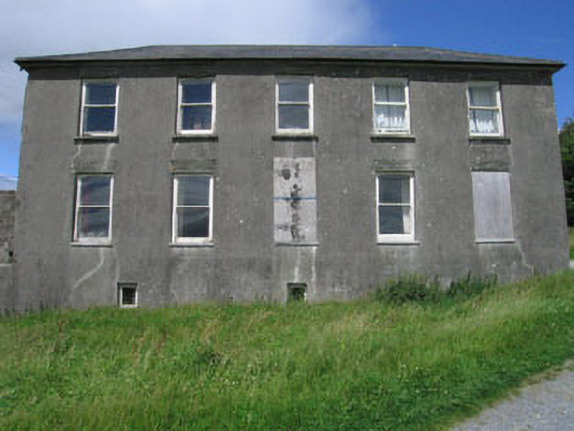 Westfield Housecountry house · 1457 yd
 Meen Bridgebridge · 1721 yd
 Monterey CypressMonterey Cypress · 1.7 mi
 Kilcoe CastleCastle · 2.6 mi
 Mannin BegIslet · 2.6 mi
 Mannin IslandIslet · 2.9 mi
 Bawn in Oldcourt (carbery West (e.d) By.)Bawn · 2.9 mi
 KnockaphukeenMountain / peak · 3.3 mi
 Wild Atlantic WayVisitor information · 3.3 mi
 Ballydehob Railway StationVisitor information · 3.8 mi