What is recorded here
On a W-facing slope, near the crest of a gently sloping ridge, in undulating pastureland. This oval area (diam. 38.3m N-S; 30.3m E-W) is defined by an earthen and stone bank (Wth 1.7m crest, 3.8m base; int. H 0.72m; ext. H 1.1m) which is quite pronounced on the E side, but has been somewhat truncated on the W side where it serves as a field boundary. Stone revetting survives on the external face of the bank in the NE and W quadrants. The interior is clean of vegetation, except for a clump of brambles in the SE quadrant. There are some mature oak trees growing on the bank. The W bank is surmounted by post and wire fencing. There is a gap in the bank in the S quadrant (Wth c. 3m) which may be the orginal entrance.
Compiled by: Jean Farrelly
Date of upload: 07 January 2014
The monument record does not grant public access. Check the route and ask the landowner before entering private land.
- What survives
- Recorded monument
Places near here
 IndicatedEnclosure · 431 yd
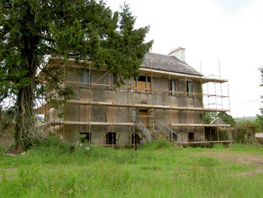 Millgrove Househouse · 641 yd
 Church (in ruins)Church · 1071 yd
 Ecclesiastical enclosure in WhitechurchEcclesiastical enclosure · 1101 yd
 Garrycloher WoodForest · 1.0 mi
 Bawn in CloheenafishogeBawn · 1.4 mi
 Knockane Castle ruinsCastle · 1.6 mi
 Boulakennedy WoodForest · 2.6 mi
 SlieveanardMountain / peak · 2.7 mi
 Slieveanard NE TopMountain / peak · 3.0 mi
 Cahir CastleHeritage attraction · 3.6 miSiege of Cahir Castlesiege · 3.7 mi