What is recorded here
Situated on ENE facing slope of a prominent hill in grassland, overlooking Lough Owel to the E, NE & SE, with excellent views in other directions also. Penitential station (WM011-142----) 100m to NW. A large circular shaped area (approx. diam. 37m E-W) enclosed by a low broad well preserved earthen bank and slight external fosse. Traces of cultivation ridges are visible running WSW-ENE across the interior of the monument. A field fence running NW-SE intersects the perimeter of the site from N-E.
Compiled by: Frank Coyne and Caimin O'Brien
Date of upload: 30 August 2017
The monument record does not grant public access. Check the route and ask the landowner before entering private land.
- What survives
- Recorded monument
Places near here
 Lack LomanArchaeological place · 143 yd
 OutlinedFairy fort / earthen ringfort · 358 yd
 Nugent's CastleCastle · 666 yd
 IndicatedCastle, motte · 697 yd
 Portloman AbbeyChurch · 862 yd
 Carrickphilbin IslandIslet · 909 yd
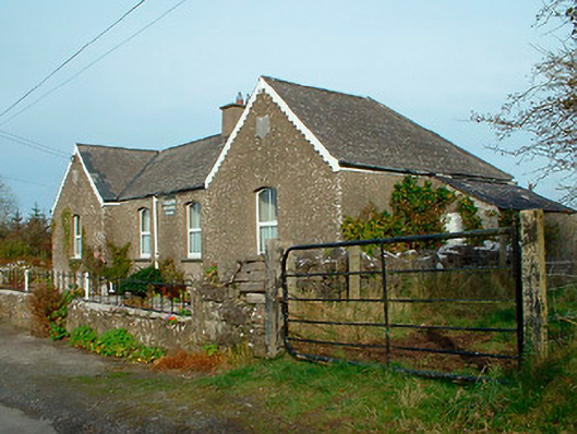 Balrath National Schoolschool · 1.2 mi
 Srudarra IslandIslet · 1.2 mi
 Lady's IslandWood · 1.9 mi
 WestmeathVisitor information · 3.0 mi
 Bridge Memorial (Kenna)Memorial · 4.3 mi
 Baronstown ForestWood · 4.6 mi