What is recorded here
Mortons has forgotten the fort, but the earth remembers the shape of human hands. A tall oval bank still rises above the grass, encircling a flat space large enough for a hall, a byre and a dozen people moving at dawn. The southern gap and its causeway mark the entrance, preserving the line of entry long after the names disappeared. What is forgotten is not nothing; it is waiting to be seen again.
Raised oval area (int. dims. c. 43m ENE-WSW; c. 32m NNW-SSE) enclosed by a substantial earthen bank and a wide, deep fosse. Break in bank at S with accompanying causeway represents original entrance.
The above description is derived from the published 'Archaeological Inventory of County Cavan' (Dublin: Stationery Office, 1995). In certain instances the entries have been revised and updated in the light of recent research.
Date of upload/revision: 22 December 2008
The monument record does not grant public access. Check the route and ask the landowner before entering private land.
- What survives
- Recorded monument
Places near here
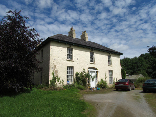 Templeport Housecountry house · 329 yd
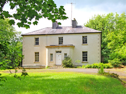 Corvillecountry house · 441 yd
 Enclosure in CorEnclosure · 776 yd
 LissanoverCastle, unclassified · 1229 yd
 Saint Mogue's IslandIslet · 1585 yd
 KilsobWood · 1.1 mi
 European BeechEuropean Beech · 1.1 mi
 Killycluggin StoneVisitor information · 1.2 mi
 Tober PatrickHoly well · 1.5 mi
 Giants GraveArchaeological place · 1.8 mi
 Carrick EastMountain / peak · 2.2 mi
 BallynamaddooMountain / peak · 2.4 mi