What is recorded here
Pollremon held a substantial earthen ringfort roughly sixty-seven metres across before a sand and gravel quarry consumed most of its circumference. Only a short northern section survives today, marked by a scarp, fosse and outer bank in undulating grassland. The loss transforms the site into a ghost limb, reminding us that human ingenuity and industrial hunger share the same soil.
In undulating grassland. Marked on 1st ed. of OS 6-inch map as a subcircular enclosure (N-S c. 67m, E-W c. 61m); on 3rd ed. (1930) only a short section is shown from NW to N. This is defined by a scarp, intervening fosse and outer bank. No visible surface trace survives elsewhere as a large sand and gravel quarry has encroached upon the monument.
The above description is derived from the published 'Archaeological Inventory of County Galway Vol. II - North Galway'. Compiled by Olive Alcock, Kathy de hÓra and Paul Gosling (Dublin: Stationery Office, 1999).
Date of upload: 05 August 2010
The monument record does not grant public access. Check the route and ask the landowner before entering private land.
- What survives
- Recorded monument
Places near here
 IndicatedFairy fort / earthen ringfort · 656 yd
 Crannog in Beagh (ballymoe By.)Crannog · 1.4 mi
 R.C. ChapelChapel · 1.6 mi
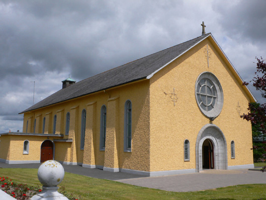 Saint Therese's Catholic Churchchurch/chapel · 2.0 mi
 Castle in ruinsCastle, unclassified · 2.8 mi
 Slieve DartMountain / peak · 3.1 mi
 CastleCastle, unclassified · 3.7 mi
 Rook HillMountain / peak · 3.9 mi
 Site of Killomaine Grave YardArchaeological place · 7.6 mi
 Enclosure in Clogher LowerEnclosure · 1.4 mi
 ShrineAltar · 1.5 mi
 Enclosure in Kilmore (ballymoe By.)Enclosure · 1.5 mi