What is recorded here
Fairy fort in Polldarragh, County Galway: an irregular earthen ringfort about thirty-four metres east-west and thirty-three metres north-south, with a bank and outside ditch, sitting on a north-east-facing grassy slope where Knockmaa Hill shows to the west. Field walls cut through it now, and modern gaps have been torn in the bank, yet the ditch still traces much of the circle. People may have lived there, fenced stock, or left it to legend; the earth keeps its shape regardless.
On a NE-facing slope in gently undulating grassland. Knockmaa Hill is visible to W. An irregularly shaped rath (E-W c. 34m, N-S c. 33m) defined by a bank and external fosse; the latter is visible from SW to WNW. A field wall cuts the monument at N and S. A number of breaches in the bank appear modern.
The above description is derived from the published 'Archaeological Inventory of County Galway Vol. II - North Galway'. Compiled by Olive Alcock, Kathy de hÓra and Paul Gosling (Dublin: Stationery Office, 1999).
Date of upload: 05 August 2010
The monument record does not grant public access. Check the route and ask the landowner before entering private land.
- What survives
- Recorded monument
Places near here
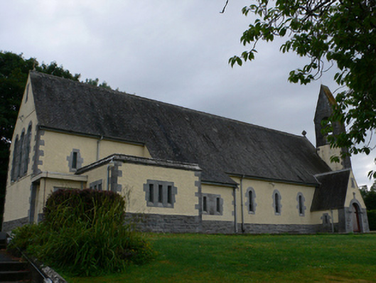 Catholic Church of the Sacred Heartchurch/chapel · 1051 yd
 Church (in Ruins)Church · 1234 yd
 CastleCastle, motte · 1243 yd
 LisheenArchaeological place · 1251 yd
 Hillfort in Carrowntemple (clare By.),knockacarrigeen,pollaturk OR NewgardenHillfort · 1305 yd
 Cashlaun Feecul in ruinsCastle, unclassified · 1.5 mi
 KnockmaaWood · 1.9 mi
 Mass RockNamed rock · 2.5 mi
 European ashEuropean ash · 3.5 mi
 Kilcoona Round TowerHeritage attraction · 5.7 mi
 Walsh's IslandIslet · 9.4 mi
 Oileán an AoilIsland · 10.0 mi