What is recorded here
Situated on a natural rise in gently undulating land with good views in all directions. Annotated 'Moat' on the 1837 OS Fair Plan map and depicted as a very small, roughly circular-shaped feature enclosed by an oval-shaped earthwork (approx. dims. 73m NE-SW; 56m NW-SE).
Monument described in 1970 as a large uneven, oval-shaped area enclosed by an earthen bank and an outer fosse. The bank is best preserved from N-E-S-W and it is denuded to the level of the interior W-N. The fosse is visible from NE-E-S-W where it is wide and shallow. The original entrance is not visible, although there are slight modern gaps in the bank at NE and WSW. The interior rises uniformly towards the centre and there is a possible Man-made underground passage (WM019-077001-) within the SW quadrant. Modern field fences contact the bank at SW and NE. Monument visible today as a tree-covered earthwork on Digital Globe aerial photography.
Compiled by: Alison McQueen, Vera Rahilly and Caimin O’Brien
Date of upload: 04 June 2019
The monument record does not grant public access. Check the route and ask the landowner before entering private land.
- What survives
- Recorded monument
Places near here
 OutlinedFairy fort / ringfort · 380 yd
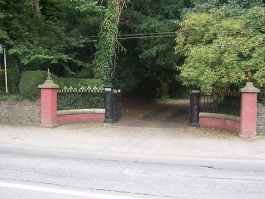 Glenmoredemesne walls/gates/railings · 806 yd
 monumentmonument · 820 yd
 Hut site in ArdmoreHut site · 962 yd
 Boardstown Castle (in Ruins)Castle, tower house · 1318 yd
 Augustinian Monks Memorial StatueMemorial · 1.0 mi
 Petits Castle Mote & Mill (Site of)Castle, unclassified · 1.1 mi
 The Chimera GalleryGallery · 1.3 mi
 Famine MemorialMemorial · 1.3 mi
 Mullingar Cathedral MuseumMuseum · 1.4 mi
 Saint Brigid's WellSpring · 2.5 mi
 Long PlantingForest · 3.3 mi