What is recorded here
A near perfect circle of earth, thirty-seven metres across, still stands in reclaimed pasture beside Kilcullane. It is a ringfort, though its hidden entrance and central stones tempt people to call it a fairy fort. The bank rises above a continuous ditch, and four split flags lean among roots in the north-west interior. cattle may have grazed it for centuries, unaware they were walking around a forgotten room of the world.
In reclaimed pasture 24m W of the townland boundary with Kilcullane defined by a small S-flowing stream. The monument is located on gently undulating ground at the base of Knockderc Hill 620m SE of St Patrick’s Well, church and graveyard (LI032-063001/002/003/004-). Immediately N of and abutting a rectangular-shaped annexe (LI032-067002-). The site is depicted on the 1840 ed. OSi 6-inch map as a circular-shaped monument. Depicted as a circular-shaped platform or earthwork on the 1897 ed. OSi 25-inch map with outcropping rock in the centre. The enclosure is clearly visible on OSi orthoimages taken 2005-12 and on Digital Globe orthoimages taken 2011-2013 as a near perfect circle (ext. diam. c. 37.5m).
O’Kelly (1944, 30-1) described the site as an earthwork of Type B consisting of ‘a circular platform with a bank at its edge. It is surrounded by a continuous fosse and the entrance is not recognisable. The maximum height of the bank over the fosse is 5’ [1.52m] and the overall diameter is 120’ [36.58m]. In the NW quadrant of the interior there is a cluster of four flag-like standing stones, all of which are laminate split from a single parent flag by the roots of a bush growing beside them. The stones are 2’6” high [0.76m]’. The site is visible on Google Earth orthoimages taken 25/03/2017; 28/06/2018 and 20/09/2020. The site is likely to be a ringfort, although has characteristics similar to a ditch-barrow monument.
See attached Google Earth orthoimages
Compiled by: Edmond O’Donovan
Date of upload: 18 November 2020
See attached ASI aerial photograph ASIAP - 304/29 taken 13/09/2002.
The monument record does not grant public access. Check the route and ask the landowner before entering private land.
- What survives
- Recorded monument
Places near here
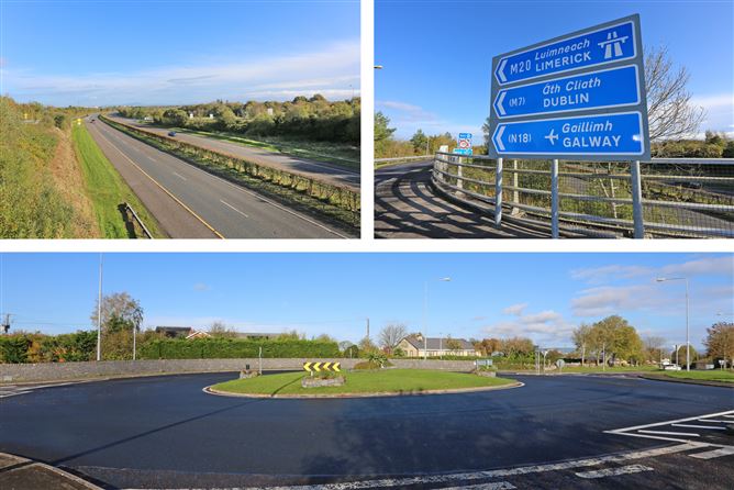 Enclosure in PatrickswellEnclosure · 39 yd
 St Patricks Bed - HachuredBurial mound · 628 yd
 Glen BogForest · 975 yd
 Bawn in Ballinscoola (smallcounty By., Cahercorney Ed)Bawn · 1138 yd
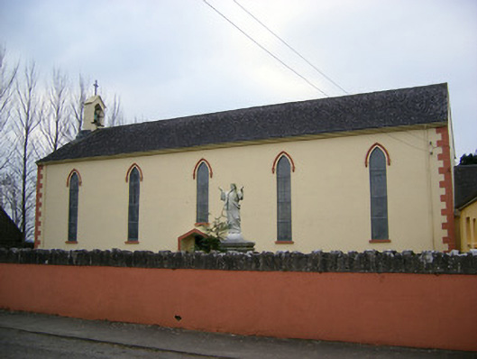 Saint Patrick's Catholic Churchchurch/chapel · 1161 yd
 Church (in ruins)Church · 1571 yd
 Castle (in ruins)Castle, unclassified · 1659 yd
 KnockainyMountain / peak · 1.6 mi
 Pedunculate OakPedunculate Oak · 1.9 mi
 Lough Gur Heritage CentreVisitor information · 2.0 mi
 The SpectaclesVisitor information · 2.1 mi
 Grange Stone CircleArchaeological place · 2.2 mi