What is recorded here
Thirty-five metres of forgotten wall circle a Galway hill, reduced to a shallow scar and a faint ditch that a modern path has already cut in two. People may have lived inside that broken ring before the grass swallowed the truth, yet the fairies keep the fort now and refuse to leave it empty.
On a hill in grassland. Very poorly preserved almost circular rath (E-W 35m, N-S 34m) defined by a scarp and shallow external fosse. A pathway cuts the monument at E. (Claffey 1983, 161)
The above description is derived from the published 'Archaeological Inventory of County Galway Vol. II - North Galway'. Compiled by Olive Alcock, Kathy de hÓra and Paul Gosling (Dublin: Stationery Office, 1999).
Date of upload: 05 August 2010
The monument record does not grant public access. Check the route and ask the landowner before entering private land.
- What survives
- Recorded monument
Places near here
 Windmill (in Ruins)Windmill · 374 yd
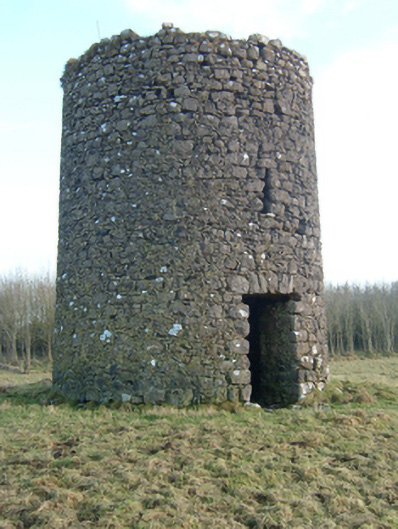 mill (wind)mill (wind) · 380 yd
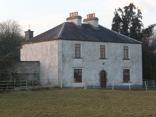 Lakeview Househouse · 598 yd
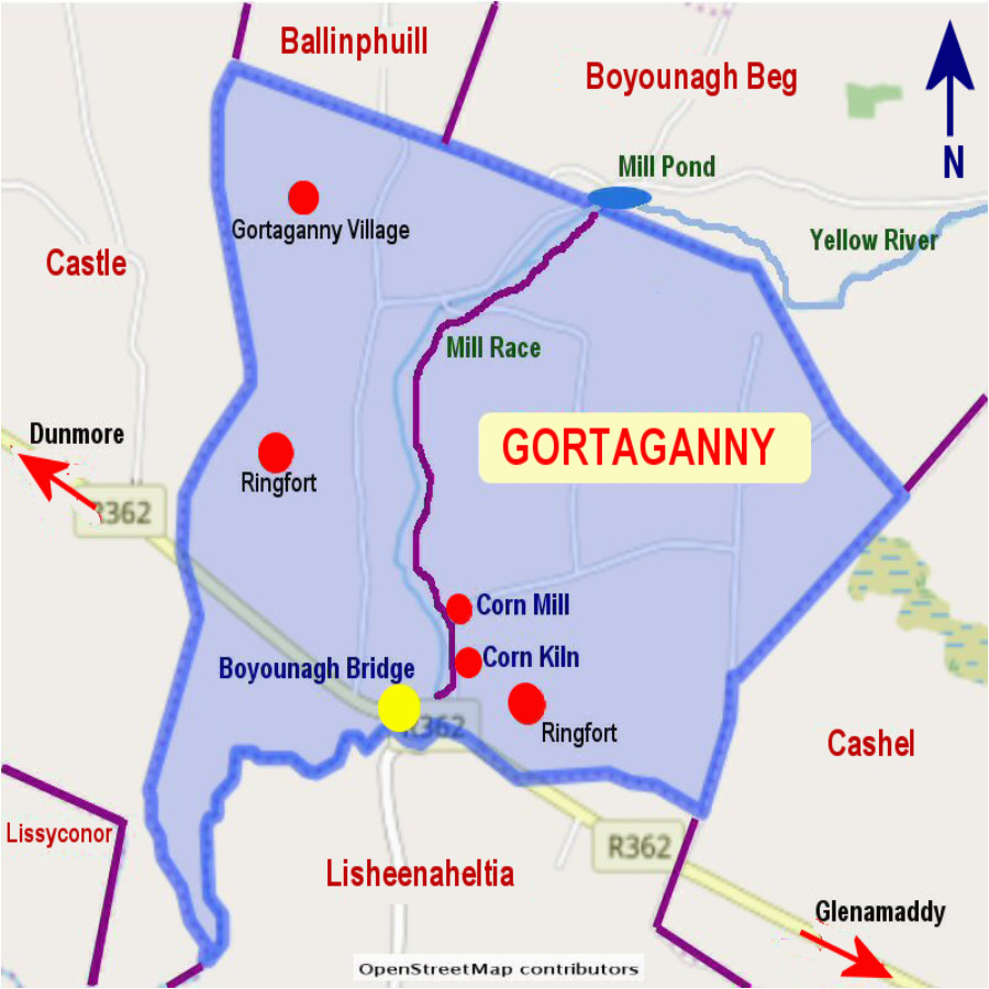 Enclosure in Gortaganny (coolcoo Ed)Enclosure · 1204 yd
 HawthornHawthorn · 1416 yd
 SycamoreSycamore · 1572 yd
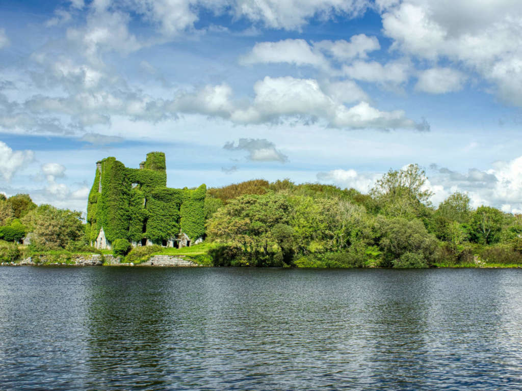 Castle BellewArchaeological place · 1650 yd
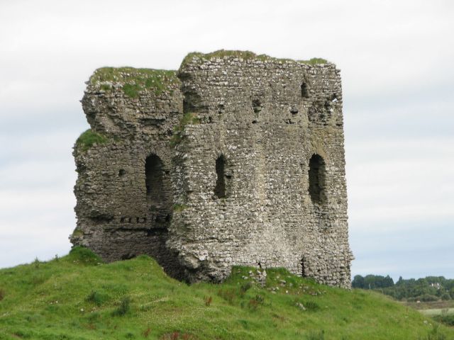 Moylough CastleCastle · 1.0 mi
 Menlough IRAMemorial · 3.7 mi
 Ballinlass Eviction MemorialMemorial · 4.9 mi
 Knockmoy AbbeyHeritage attraction · 7.0 mi
 Mount MaryMountain / peak · 10 mi