What is recorded here
Half a metre of soil remains where a wall once stood, the rest swallowed by plough and time. What is left is a shallow dish in the ridge, wide enough to hold a dozen people circling each other, and the field fence has eaten the northern edge. The harbour still glitters below, unchanged, while the fort has become a rumour in the ground.
In tillage, on crest of E-W ridge, overlooking Cork Harbour to S. Levelled; slightly raised, roughly circular area (30m N-S; 26m E-W) defined by low earthen bank (int. H 0.45m; ext. H 1.6m) incorporated NNW->N into fieldf ence. Trace of fosse (D 0.7m) to S and W.
The above description is derived from the published 'Archaeological Inventory of County Cork. Volume 2: East and South Cork' (Dublin: Stationery Office, 1994). In certain instances the entries have been revised and updated in the light of recent research.
Date of upload/revision: 14 January 2009
The monument record does not grant public access. Check the route and ask the landowner before entering private land.
- What survives
- Recorded monument
Places near here
 Fulacht fia in ParkgarriffFulacht fia · 200 yd
 IndicatedFairy fort / earthen ringfort · 449 yd
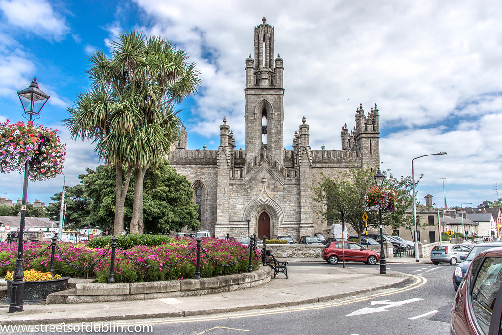 Monkstown Church (in Ruins)Church · 974 yd
 Castle Househouse · 1045 yd
 Passage West Maritime MuseumMuseum · 1.7 mi
 Rochestown WoodWood · 2.0 mi
 Ronayns CourtHouse, fortified house · 2.6 mi
 Thomas Kent StationMemorial · 5.6 mi
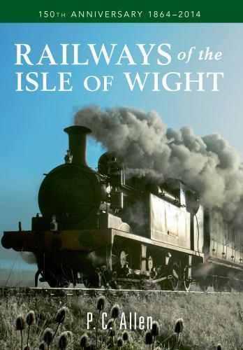 150th Anniversary of Railways in CorkMemorial · 5.7 mi
 Cork WalksVisitor information · 5.9 mi
 Tourist OfficeVisitor information · 6.0 mi
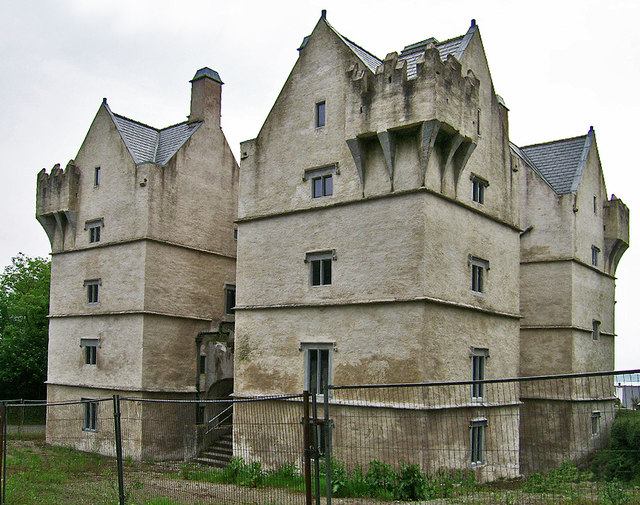 Monkstown Castlecastle/fortified house · 1111 yd