What is recorded here
Half a mile south of Parkalassa the fort field still carries its name, Páirc an Leasa, though the ring itself disappeared under a plough in the 1950s. What remains is a memory shaped like a circle: a place set apart, perhaps for keeping livestock, perhaps for a household that believed boundaries needed drawing twice, once for people and once for the unseen. The land forgot the shape but the name refused to release it.
Fort Field/Páirc an Leasa: Marked on the first edition of the OS map as a circular enclosure, two field boundaries are depicted traversing its N half on the second edition. The site was levelled in the 1950s and no visible trace survives.
The above description is derived from A. O'Sullivan and J. Sheehan (compilers), 'The Iveragh peninsula: an archaeological survey of South Kerry'. Cork University Press (1996), no. 684. In certain instances the entries have been revised and updated in the light of recent research.
Date of upload: 29 July 2013
This remains an important historical record, but the official description says the monument is no longer visible or has been destroyed. The monument record does not grant public access. Check the route and ask the landowner before entering private land.
- What survives
- No visible remains or recorded as destroyed
Places near here
 LisbegFairy fort / earthen ringfort · 303 yd
 LismoreFairy fort / earthen ringfort · 432 yd
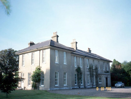 The Reekscountry house · 2.1 mi
 Killoughane Church (in Ruins)Church · 2.2 mi
 Ballymalis Castle (in ruins)Castle, tower house · 2.4 mi
 Ballymalis CastleCastle · 2.4 mi
 KnockbrackMountain / peak · 2.4 mi
 KnockroeMountain / peak · 2.9 mi
 King Puck statueMemorial · 3.2 mi
 Cloon IslandIsland · 3.7 mi
 Clash IslandIslet · 4.0 mi
 Devil's Ladder RouteWalking route · 4.1 mi