What is recorded here
Situated on a low natural rise in low lying wet grassland, with good views all around. The road which forms the townland boundary with Jordanstown lies 70m to W, and the field fence which forms the townland boundary with Lisnacask lies 75m to E. A large sub-circular shaped area (approx. diam. 26m NNE-SSW) enclosed by two earth and stone banks and an intervening wide deep fosse. The inner bank is quite substantial from SW-N-NE with remains of an inner stone facing at SW, W and N. The outer bank is low and poorly preserved. There is a stone lined entrance gap (Wth 2.4) and a causeway (Wth 3.4m; H 0.75m) with stone revetted sides at NE. The interior rises irregularly towards the centre.
Compiled by: Frank Coyne and Caimin O'Brien
Date of upload: 13 February 2018
The monument record does not grant public access. Check the route and ask the landowner before entering private land.
- What survives
- Recorded monument
Places near here
 Site of CastleCastle, unclassified · 630 yd
 OutlinedEnclosure · 968 yd
 Partially indicatedFairy fort / ringfort · 993 yd
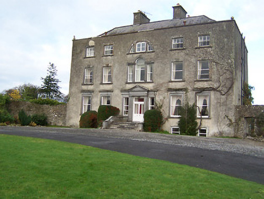 Mearscourt Housecountry house · 1221 yd
 Church (in Ruins)Church · 1673 yd
 CastleCastle, unclassified · 1.9 mi
 Ancient Ring FortWood · 2.6 mi
 Sessile OakSessile Oak · 3.0 mi
 Abbeyshrule AbbeyRuins · 3.4 mi
 Newcastle WoodsForest · 5.9 mi
 Noughaval CemeteryArchaeological place · 8.5 mi
 National Famine WayWalking route · 10.0 mi