What is recorded here
Situated on a slight rise with evidence of rock outcrop in gently undulating grassland. A sub-circular shaped area (approx. diam. 36m N-S; 33m E-W) enclosed by two earthen banks and an intervening fosse with an external fosse. The inner bank is fragmentary, best preserved from NNE-NE & S. The outer bank is visible though fragmentary from E-S-W, and elsewhere has been replaced by a field fence. There is a wide flat intervening space between the banks where they are visible. An L-shaped depression in the interior may represent a Man-made underground passage (WM010-027001-). Two lengths of a grass covered bank to the W of centre of the interior may represent a rectangular house site (WM010-027002-), while a second house site (WM010-027003-) is visible in the NE quadrant.
Compiled by: Frank Coyne and Caimin O'Brien
Date of upload: 9 June 2017
The monument record does not grant public access. Check the route and ask the landowner before entering private land.
- What survives
- Recorded monument
Places near here
 OutlinedFairy fort / earthen ringfort · 253 yd
 Site of CastleCastle, unclassified · 388 yd
 Partially hachuredFairy fort / earthen ringfort · 894 yd
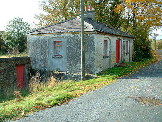 38th Locklock keeper's house · 1453 yd
 Kelly's Bridgebridge · 1471 yd
 CastleCastle, unclassified · 1.8 mi
 Ancient Ring FortWood · 3.1 mi
 Sessile OakSessile Oak · 3.1 mi
 Abbeyshrule AbbeyRuins · 3.2 mi
 Noughaval CemeteryArchaeological place · 8.6 mi
 National Famine WayWalking route · 9.6 mi
 37th Lock Keeper's CottageRuins · 1541 yd