What is recorded here
In grassland, ringfort (WM010-028----) 200m to NNW. Present remains consist of a circular-shaped area (diam. c. 36m) enclosed by a bank with gap at NE visible on Digital Globe orthoimage taken between 2011-13.
Compiled by: Caimin O'Brien
Date of upload: 21 August 2023
The monument record does not grant public access. Check the route and ask the landowner before entering private land.
- What survives
- Recorded monument
Places near here
 OutlinedFairy fort / earthen ringfort · 744 yd
 Site of CastleCastle, unclassified · 789 yd
 37th Lock Keeper's CottageRuins · 1366 yd
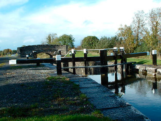 37th Locklock · 1392 yd
 Partially hachuredFairy fort / earthen ringfort · 1417 yd
 CastleCastle, unclassified · 1.5 mi
 Ancient Ring FortWood · 3.0 mi
 Horse-chestnutHorse-chestnut · 3.4 mi
 Abbeyshrule AbbeyRuins · 3.5 mi
 Newcastle WoodsForest · 6.1 mi
 Noughaval CemeteryArchaeological place · 8.9 mi
 National Famine WayWalking route · 9.7 mi