What is recorded here
Fairy fort / earthen ringfort in Ogulla is a fairy fort or earthen ringfort in Ogulla, County Roscommon, Ireland. A circular grass-covered area 27.5m north-south and 27m east-west is defined by a 0.2m scarp on gently undulating ground. Another rath lies about 100m to the east, while archaeological testing 140m to the south found no related material.
Visible on aerial photographs (ACAP: V206/3-4), and situated on a gently undulating landscape. Circular grass-covered area (diam. 27.5m N-S; 27m E-W) defined by a slight scarp (H 0.2m). Rath (RO022-110----) is c. 100m to the E. Archaeological testing (13E0278) on an extensive area (dims c. 180m N-S; c. 90-130m NW-SE) located c. 140m to the S produced no related material (Crumlish 2013).
Compiled by: Michael Moore
Date of revised upload: 4 December, 2014
The monument record does not grant public access. Check the route and ask the landowner before entering private land.
- What survives
- Recorded monument
Places near here
 IndicatedFairy fort / stone ringfort · 661 yd
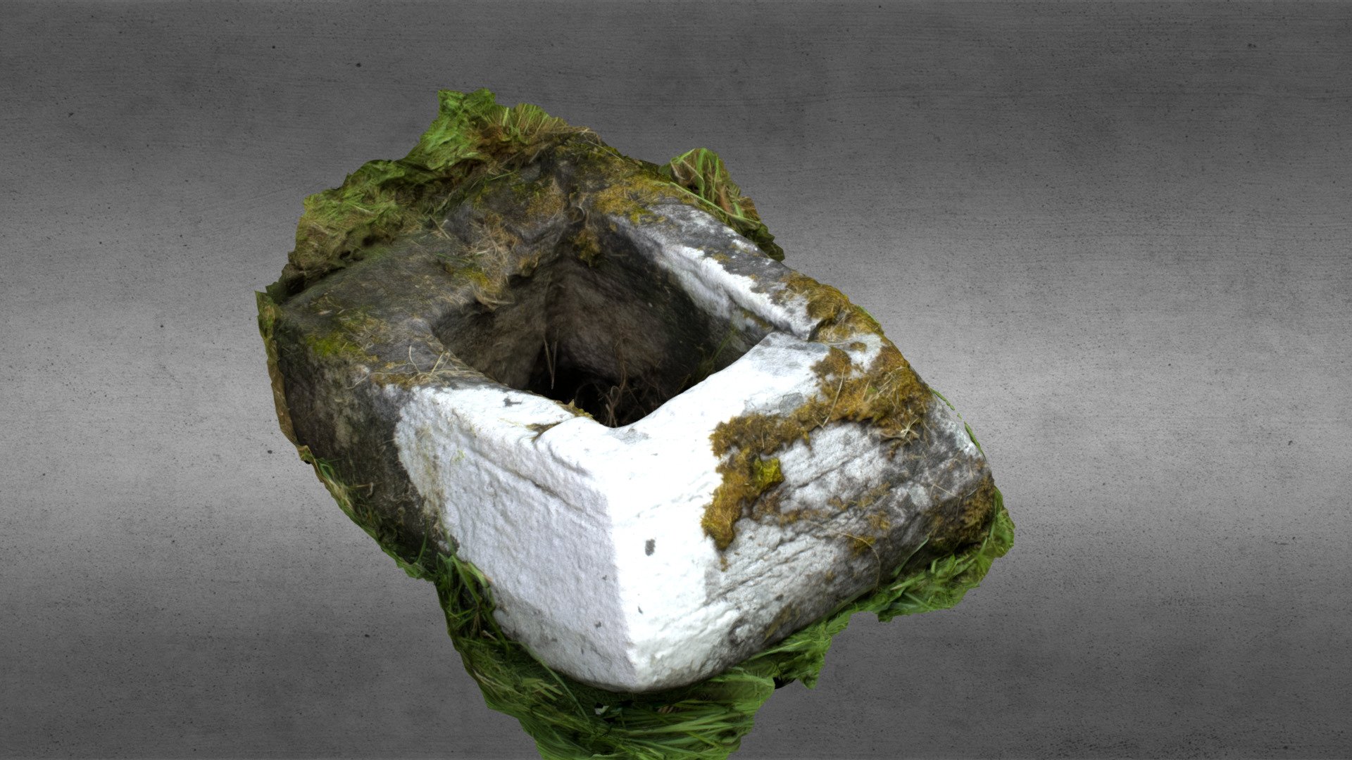 Church in OgullaChurch · 740 yd
 AbbeyReligious house, Dominican friars · 791 yd
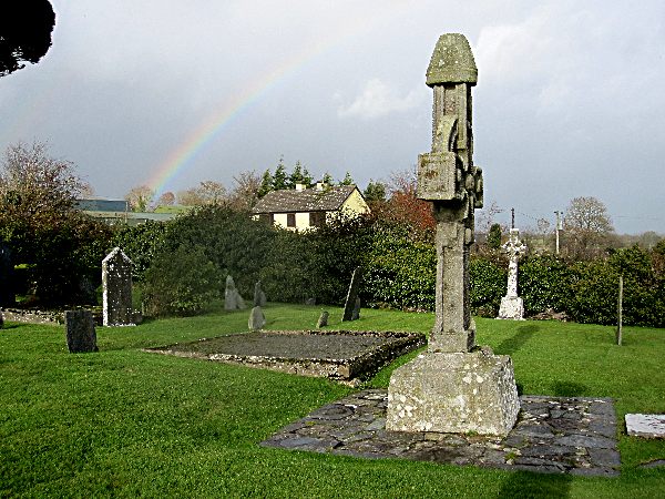 CrossCross, High cross · 810 yd
 Cruachan Aí Heritage CentreMuseum · 812 yd
 ToberagullaSpring · 814 yd
 European ashEuropean ash · 817 yd
 CastleCastle, unclassified · 828 yd
 CastlerubyCastle, unclassified · 2.3 mi
 War of Independence Commemorative Military MemorialMemorial · 4.6 mi
 Sweet ChestnutSweet Chestnut · 6.7 mi
 Silver IslandIslet · 8.2 mi