What is recorded here
OAKLEYPARK: Four banks and four ditches enclosed more than two acres of sub-triangular ground, yet men called it a fairy fort because its size defied an ordinary farmhouse. In the 1970s a bulldoer levelled what generations had walked around, leaving only an aerial photograph to prove that the earth had once stood in rings. The anger is not to dismiss the claim or to invent a chamber; it is to remember that human hands made a boundary large enough for a neighbourhood, and forgetting requires violence.
This large multivallate earthwork was bulldozed in the 1970's. According to the ITA Survey (1943) it consisted of a sub-triangular area enclosed by four banks and fosses covering an area of over 2 acres. Aerial photograph (AVT 70) shows the shape and size of the ringfort before it was destroyed.
The above description is derived from the published 'Archaeological Inventory of County Offaly' (Dublin: Stationery Office, 1997). In certain instances the entries have been revised and updated in the light of recent research.
Date of upload: 23 May 2011
This remains an important historical record, but the official description says the monument is no longer visible or has been destroyed. The monument record does not grant public access. Check the route and ask the landowner before entering private land.
- What survives
- No visible remains or recorded as destroyed
Places near here
 Cave (Site of)Man-made underground passage · 33 yd
 St. Kierans Bush & StoneRitual site, holy tree/bush · 384 yd
 HawthornHawthorn · 389 yd
 RampartsCastle, motte · 404 yd
 Seir Kierans Abbey (in Ruins), Church (in Ruins)Religious house, Augustinian canons · 494 yd
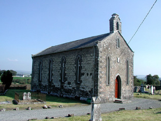 Saint Kieran's Church (Seirkieran)church/chapel · 536 yd
 Saint Kieran's WellSpring · 723 yd
 Ballymooney Castle in RuinsHouse, fortified house · 764 yd
 Grange WoodWood · 1.4 mi
 Birr Heritage CentreMuseum · 4.9 mi
 James Franklin FullerMemorial · 5.1 mi
 Waterfall PointViewpoint · 5.1 mi