What is recorded here
Situated on the S bank of the NE-SW River Bann with the stream c. 50m to the NW. A D-shaped cropmark (dims. c. 30m NE–SW; c. 15m NW–SE) defined by a single fosse feature that has the open straight side at NW where there is a severe slope down to the river is visible on aerial photographs (CUCAP: AWS 76, BDJ 69, BGF 19). No feature is visible at ground level in a cereal crop. The rath site (WX016-002001-) is c. 20m to the S.
The above description is derived from the published 'Archaeological Inventory of County Wexford' (Dublin: Stationery Office, 1996). In certain instances the entries have been revised and updated in the light of recent research.
Compiled by: Michael Moore
Date of upload/revision: 21 May, 2012
Amended: 6 May, 2014
The monument record does not grant public access. Check the route and ask the landowner before entering private land.
- What survives
- Recorded monument
Places near here
 Enclosure in NorrismountEnclosure · 268 yd
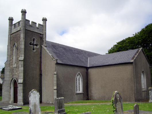 Saint Catherine's Church (Toome)church/chapel · 474 yd
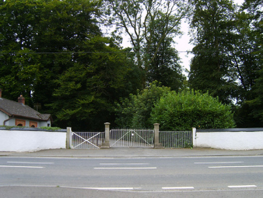 Camolin Housegates/railings/walls · 487 yd
 Milshoge RockMountain / peak · 1041 yd
 White WellHoly well · 1534 yd
 Camolin WoodForest · 1.8 mi
 Giants BedNamed rock · 2.1 mi
 Carrigroe HillMountain / peak · 2.2 mi
 Kilbora WoodForest · 2.4 mi
 Ferns Castle (in ruins)Castle, Anglo-Norman masonry castle · 3.5 mi
 CastleCastle, unclassified · 4.4 mi
 Father Murphy CentreHeritage attraction · 4.5 mi