What is recorded here
That is a ringfort, a rath, a circular grass-covered area thirty metres across on a south-facing slope between Carrickbrack and Carnbane East. It has an external fosse, a counterscarp bank on two sides, an entrance gap and causeway at the southeast, and a road bank that slightly cuts the eastern perimeter. People may have lived there, buried goods there, or simply passed by and called it a fairy fort because the shape still feels like a room the earth forgot to finish.
Located towards the top of the S-facing slope down from the col between Carrickbrack c. 330m to the W and a shoulder of Carnbane East c. 380m to the NE. This is a circular grass-covered area (diam. 30m) defined by an external fosse (Wth of top 6m; Wth of base 3m; D 0.7-1.2m; ext. D 0.3m) and counterscarp bank SSE-S and SW-NW (Wth 3m; ext. H 0.7m). There is an entrance gap and causeway at SE and the perimeter is slightly truncated by a NNW-SSE road bank at E.
The above description is derived from the published 'Archaeological Inventory of County Meath' (Dublin: Stationery Office, 1987). In certain instances the entries have been revised and updated in the light of recent research.
Compiled by: Michael Moore
Date of revision: 6 February 2017
The monument record does not grant public access. Check the route and ask the landowner before entering private land.
- What survives
- Recorded monument
Places near here
 LoughcrewMegalithic tomb cemetery · 652 yd
 Cairn SArchaeological place · 762 yd
 Loughcrew Megalithic TombsHeritage attraction · 791 yd
 Slieve Na CalliaghMountain / peak · 791 yd
 Hag's ChairArchaeological place · 797 yd
 Carnbane WestMountain / peak · 1040 yd
 C11Named rock · 1091 yd
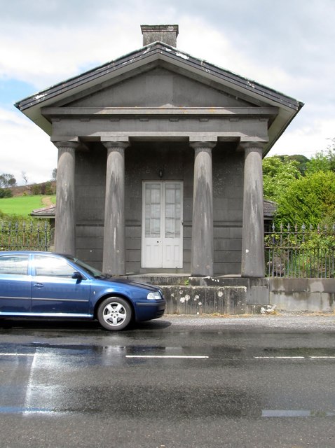 Loughcrew Housegate lodge · 1491 yd
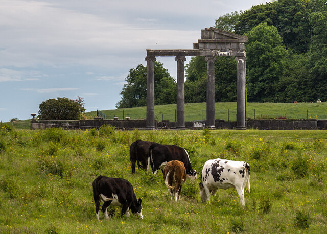 Loughcrew House porticoRuins · 1629 yd
 Common LimeCommon Lime · 1.1 mi
 European YewEuropean Yew · 1.1 mi
 CastleCastle, unclassified · 1.1 mi