What is recorded here
Fairy fort / earthen ringfort in Newrath Big (kells Upper By.) stands on a low north-south spur at the south base of the Hill of Lloyd. Its entrance touches the northwest edge of a rath about thirty-six metres across, now visible only as a faint cropmark rather than a standing wall. The rath and underground passage lie roughly one hundred and seventy metres east-southeast, preserving a hidden chamber beside an open ring. Together they suggest a place where people entered darkness before crossing into daylight, not a forgotten mound but a threshold between seeing and believing.
Located on a fairly low N-S spur at the S base of the Hill of Lloyd. The entrance to the complex Man-made underground passage (ME016-023002-) is at the NW edge of a rath (int. diam. c. 36m N-S; c. 36m E-W) that is visible as the cropmark of a continuous fosse (Wth c. 1-3m) only on Apple Maps, which utilises a survey conducted by Bluesky International during June 2018. The rath (ME016-055001-) and Man-made underground passage (ME016-055----) are c. 170m to the ESE. (Sweetman 1975)
The above description is derived from the published 'Archaeological Inventory of County Meath' (Dublin: Stationery Office, 1987). In certain instances the entries have been revised and updated in the light of recent research.
Compiled by: Michael Moore
Date of revision: 26 February 2019
Amended: 27 November 2019
The monument record does not grant public access. Check the route and ask the landowner before entering private land.
- What survives
- Recorded monument
Places near here
 Spire of LloydMonument · 919 yd
 Tower of Lloydmonument · 919 yd
 The Pauper's CemeteryMemorial · 954 yd
 Great Famine ProjectMemorial · 993 yd
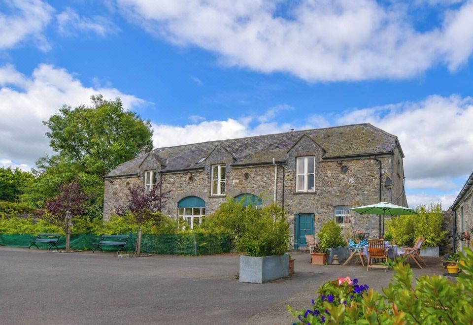 Enclosure in Calliaghstown (kells Upper By.)Enclosure · 1129 yd
 Lackmelch RockfieldWood · 1525 yd
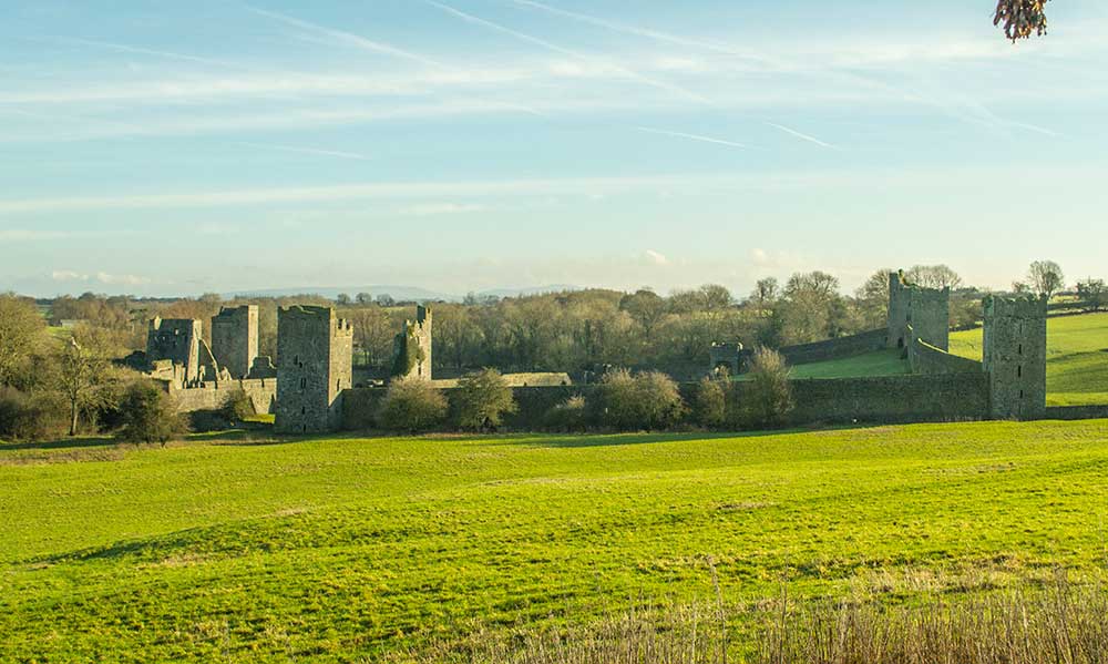 Religious houseReligious house, Augustinian canons · 1564 yd
 Long WoodForest · 1.0 mi
 CastleCastle, unclassified · 1.2 mi
 MountainpoleMountain / peak · 1.8 mi
 MoatCastle, motte and bailey · 2.4 mi
 MaperathMountain / peak · 2.7 mi