What is recorded here
Situated on NE-facing slope of a gentle rise, in pasture. Depicted on the revised 1913 ed. OS 25-inch map as a roughly oval-shaped bivallate earthwork. Monument described in 1971 as a much disturbed circular-shaped area (diam. 23.6m) enclosed by a bank, a fosse and an outer bank. The inner bank is steep on the exterior. There is a wide U-shaped fosse visible rom W-S-SSE. There is a steep, narrow tree-lined outer bank visible from SSE-S-W much of which has been quarried at N, SE and WNW. The ground outside the outer bank has been quarried from N-NE-ENE and the hole partially backfilled with tree roots. The original entrance is not recognisable. The interior has a gentle NNE-facing slope and is tree-planted.
Compiled by Alison McQueen, Vera Rahilly and Caimin O’Brien.
Date of upload: 04 November 2019
The monument record does not grant public access. Check the route and ask the landowner before entering private land.
- What survives
- Recorded monument
Places near here
 Woodfordhouse · 182 yd
 bridgebridge · 940 yd
 Enclosure in NewdownEnclosure · 956 yd
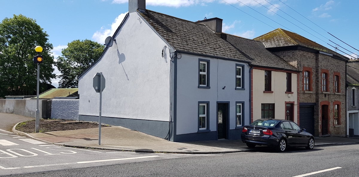 Partially hachuredFairy fort / earthen ringfort · 1.3 mi
 CastleCastle, unclassified · 1.4 mi
 Heathstown CastleCastle, tower house · 1.5 mi
 GinkgoGinkgo · 5.6 mi
 Long PlantingForest · 6.3 mi
 Croppies' GraveMemorial · 10 mi
 sluice/sluice gatesluice/sluice gate · 1108 yd
 level crossinglevel crossing · 1411 yd
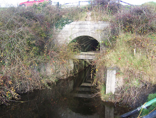 aqueductaqueduct · 1537 yd