What is recorded here
Situated on a natural rise, in gently undulating pasture, with good views in all directions. Annotated 'Fort' 1837 OS Fair Plan map. Depicted on the 1837 ed. OS 6-inch map as an oval-shaped earthwork (approx. dims. 40m N-S; 35m E-W). Monument described in 1970 as traces of an oval-shaped earthwork which is bisected by a modern field fence running WNW-ESE. The perimeter is defined by a short segment of well-defined scarp (H 1.5m) at W with a modern trench (Wth at top 2.6m; basal Wth 1.5m; D 0.45m) at the base and by a very vague scarp from SE-S-SW. The monument appears to have been destroyed in the process of quarrying of rock. Monument is not visible on Digital Globe aerial photography due to shadow cast by field boundary running E-W.
Compiled by Alison McQueen, Vera Rahilly and Caimin O’Brien.
Date of upload: 08 July 2019
The monument record does not grant public access. Check the route and ask the landowner before entering private land.
- What survives
- Recorded monument
Places near here
 Enclosure in NewdownEnclosure · 1070 yd
 Woodfordhouse · 1163 yd
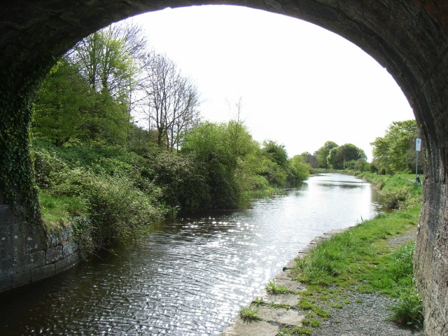 bridgebridge · 1493 yd
 CastleCastle, unclassified · 1.4 mi
 Enclosure in ClongawnyEnclosure · 1.5 mi
 Heathstown CastleCastle, tower house · 2.1 mi
 GinkgoGinkgo · 5.0 mi
 Long PlantingForest · 5.8 mi
 Croppies' GraveMemorial · 11 mi
 Water millWater mill, horizontal-wheeled · 1.1 mi
 level crossinglevel crossing · 1.2 mi
 sluice/sluice gatesluice/sluice gate · 1.2 mi