What is recorded here
Fairy fort / earthen ringfort in Mullymagowan is a 28.1m enclosed earthworks in County Cavan, Ireland. Two substantial banks and an intermediate fosse formed the boundary, though modern field work has removed or levelled parts of the circle. At the centre a raised platform marks the likely house site, and a collapsed passage may have extended east from it. The loss of the entrance and the burial of the passage leave the fort half-remembered, a chamber whose front door has been taken by fields.
Raised circular area (int. diam. 28.1m) enclosed by two substantial earthen banks with intermediate fosse. From E-S-SSW outer bank and fosse have been replaced by a modern field boundary. From NNE-E both banks have been levelled. Original entrance not recognisable. Circular platform at centre presumably represents house site. Extending E from this is a possible collapsed Man-made underground passage (CV026-058002-).
The above description is derived from the published 'Archaeological Inventory of County Cavan' (Dublin: Stationery Office, 1995). In certain instances the entries have been revised and updated in the light of recent research.
Date of upload/revision: 22 December 2008
The monument record does not grant public access. Check the route and ask the landowner before entering private land.
- What survives
- Recorded monument
Places near here
 AghadreenaghMountain / peak · 1580 yd
 Raven's RockNamed rock · 1604 yd
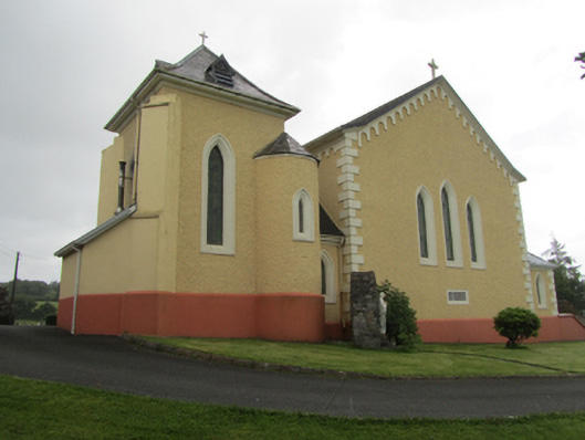 St Dymphna's Roman Catholic Churchchurch/chapel · 1.0 mi
 Saint Dympna's CrossWayside cross · 1.1 mi
 CliffernaMountain / peak · 1.5 mi
 Fairy fort / stone ringfort in KillymeehanFairy fort / stone ringfort · 2.2 mi
 Cromwell's CampArchaeological place · 2.3 mi
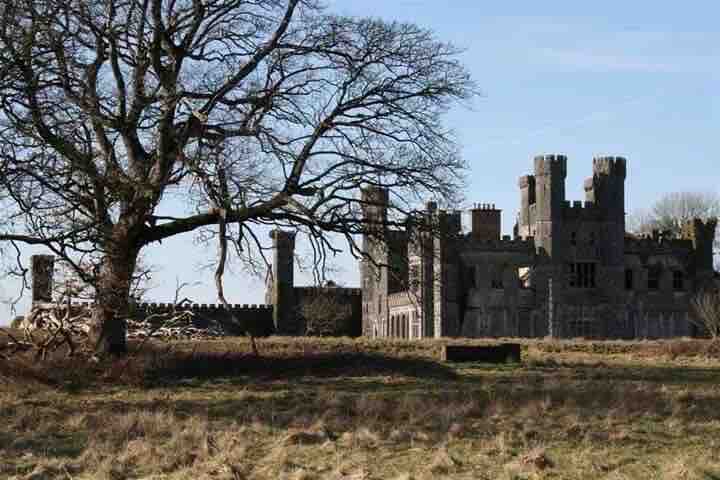 RavenswoodForest · 2.5 mi
 Ancient Order of Hibernians MemorialMemorial · 2.8 mi
 Killymeehan ForestForest · 3.0 mi
 To The Memory of P.J. DukeMemorial · 3.4 mi
 The GPO ExhibitionMuseum · 4.9 mi