What is recorded here
Mully Lower holds a broad earthen ring where a shallow ditch still catches rain. People may have lived inside the bank or kept animals beside the wet trench. Others may have danced around it at summer festivals. The flat ground and broken entrance invite both possibilities.
Raised circular area (int. diam. 27.7m) enclosed by a well-defined earthen bank best preserved at NW, and a partly waterlogged fosse encircled by a modern earth and stone bank from NW-N-E. Break in bank with remains of accompanying causeway at SE represents original entrance.
The above description is derived from the published 'Archaeological Inventory of County Cavan' (Dublin: Stationery Office, 1995). In certain instances the entries have been revised and updated in the light of recent research.
Date of upload/revision: 22 December 2008
The monument record does not grant public access. Check the route and ask the landowner before entering private land.
- What survives
- Recorded monument
Places near here
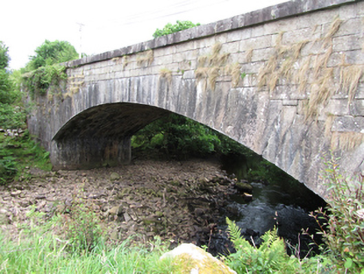 bridgebridge · 911 yd
 Sweat Ho.Sweathouse · 1719 yd
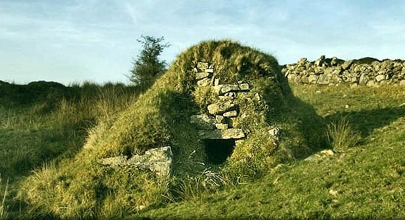 Sweathouse in GowlatSweathouse · 1743 yd
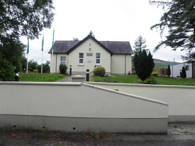 CurraghvahMountain / peak · 1.1 mi
 Foxes CaveCave · 1.1 mi
 Crofton's HillForest · 1.3 mi
 ArdvaghMountain / peak · 1.4 mi
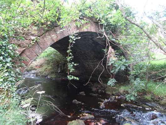 Carty’s Bridgebridge · 1.7 mi
 Moneensauran Cuilcagh Anierin Uplands Special Area of ConservationNature reserve · 2.0 mi
 PlaygroudCliff · 2.4 mi
 CarrignahastaCliff · 2.4 mi
 Shannon PotSpring · 2.6 mi