What is recorded here
Mullanacross fort is a shallow circular scar on a drumlin crest, its earthen bank swallowed by field drains and grass. It appears only as a gothic word on an 1834 map, not as a standing wall or clear gate. The site may have been a small dwelling, a boundary marker, or a child's fairy tale made flesh. In that case the fort is neither lost nor proven, but waiting to be imagined into shape.
Located at the crest of the S-facing slope at the S end of a N-S drumlin ridge. It is depicted as a small embanked enclosure described in gothic lettering as a ‘fort’ only on the 1834 edition of the OS 6-inch map. This is a circular grass and rush-covered area (diam. 31m N-S; 28m E-W) defined by traces of an earthen bank with an external fosse that are incorporated into a field bank and outer drain ENE-S-WSW while the perimeter is reduced to a slight scarp elsewhere. The entrance is not identifiable.
The above description is derived from the published 'Archaeological Inventory of County Monaghan' (Dublin: Stationery Office, 1986). In certain instances the entries have been revised and updated in the light of recent research.
Date of revision: 17 July 2007
The monument record does not grant public access. Check the route and ask the landowner before entering private land.
- What survives
- Recorded monument
Places near here
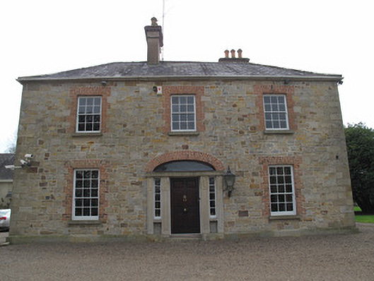 rectory/glebe/vicarage/curate's houserectory/glebe/vicarage/curate's house · 495 yd
 St. Muadain's WellSpring · 498 yd
 Old ChChurch · 509 yd
 IndicatedHilltop enclosure · 1031 yd
 Fairy fort / earthen ringfort in AghaderryFairy fort / earthen ringfort · 1.0 mi
 RAVELLA CASTLE:HOUSE AND BAWN in RavellaRAVELLA CASTLE:HOUSE AND BAWN · 2.1 mi
 Derrygorry WoodForest · 2.8 mi
 Coolberrin HillMountain / peak · 2.8 mi
 Lismore WoodWood · 3.0 mi
 Emyvale Heritage TrailVisitor information · 3.5 mi
 MEDIEVAL CHURCH & GRAVEYARD: AGHALOO CHURCH in RouskyMEDIEVAL CHURCH & GRAVEYARD: AGHALOO CHURCH · 3.6 mi
 Saint Patrick's ChairNamed rock · 3.6 mi