What is recorded here
Mullanacre Lower holds a thirty-metre earthen ring where a broken eastern bank still points to its entrance. The fort has watched Cavan fields for centuries, keeping its shape inside ordinary farmland. People may have lived, hidden or remembered there before written records. The land still carries that much larger human presence.
Raised circular area (int. dims. 29.2m E-W; 27.5m N-S) enclosed by a low earthen bank and a largely infilled fosse abutted by a modern field boundary from E-S-NW. Break in bank at E probably represents original entrance.
The above description is derived from the published 'Archaeological Inventory of County Cavan' (Dublin: Stationery Office, 1995). In certain instances the entries have been revised and updated in the light of recent research.
Date of upload/revision: 22 December 2008
The monument record does not grant public access. Check the route and ask the landowner before entering private land.
- What survives
- Recorded monument
Places near here
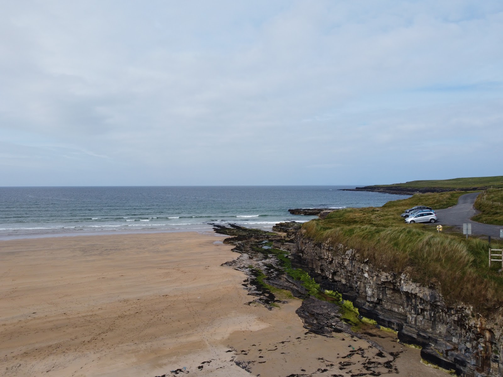 Carrowmore Lecharrownahone ForestForest · 1249 yd
 Clontycarnaghan Wet WoodlandWood · 1.0 mi
 Tomregan Church of Ireland Churchchurch/chapel · 1.0 mi
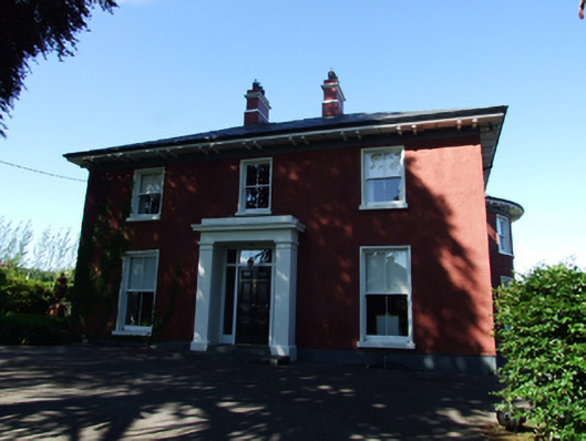 Glendoon Househouse · 1.1 mi
 Kieran Doherty TD Cavan Monaghan MemorialMonument · 1.2 mi
 Court tomb in Doon (ballyconnell Ed)Court tomb · 1.3 mi
 LissanoverCastle, unclassified · 1.7 mi
 Swallow HoleCave · 1.8 mi
 Killycluggin StoneVisitor information · 1.9 mi
 KnockateggalMountain / peak · 1.9 mi
 Church HillMountain / peak · 2.0 mi
 Ballyheady CairnArchaeological place · 2.1 mi