What is recorded here
Fairy forts in Monaghan are often human ringforts renamed later, but Mullan keeps both truths alive: a real earthen defense and a warning not to bury what the land still remembers. Its double banks, causeway and entrance show that people lived there, resisted there and left a shape the land still holds. The fairy name is not a mistake; it is a boundary marker, telling us some places keep human history and spirit history in the same circle.
Situated just W of the summit of a small drumlin. This is a circular grass and scrub-covered area (diam. 41m NNE-SSW; 40m WNW-ESE) defined by an overgrown earthen bank that is separated by a flat-bottomed fosse and a small berm from an outer bank and an outer fosse. There is an entrance through the inner (Wth of base 2.3m) and outer (Wth of base 2.6m) banks and a causeway (Wth of top 3.6m; H 1m) across the inner fosse at ENE. There are traces of a causeway across the outer fosse at ENE also.
The above description is derived from the published 'Archaeological Inventory of County Monaghan' (Dublin: Stationery Office, 1986). In certain instances the entries have been revised and updated in the light of recent research.
Revised by: Michael Moore
Date of revision: 22 June 2018
The monument record does not grant public access. Check the route and ask the landowner before entering private land.
- What survives
- Recorded monument
Places near here
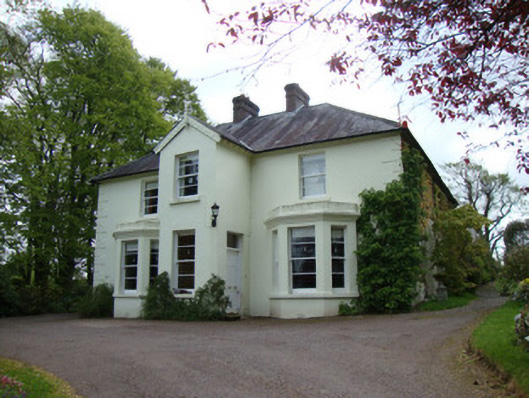 Springfield Househouse · 1124 yd
 IndicatedFairy fort / earthen ringfort · 1325 yd
 Creevagh Reformed Presbyterian Churchchurch/chapel · 1544 yd
 The Rabbit BurrowWood · 1.5 mi
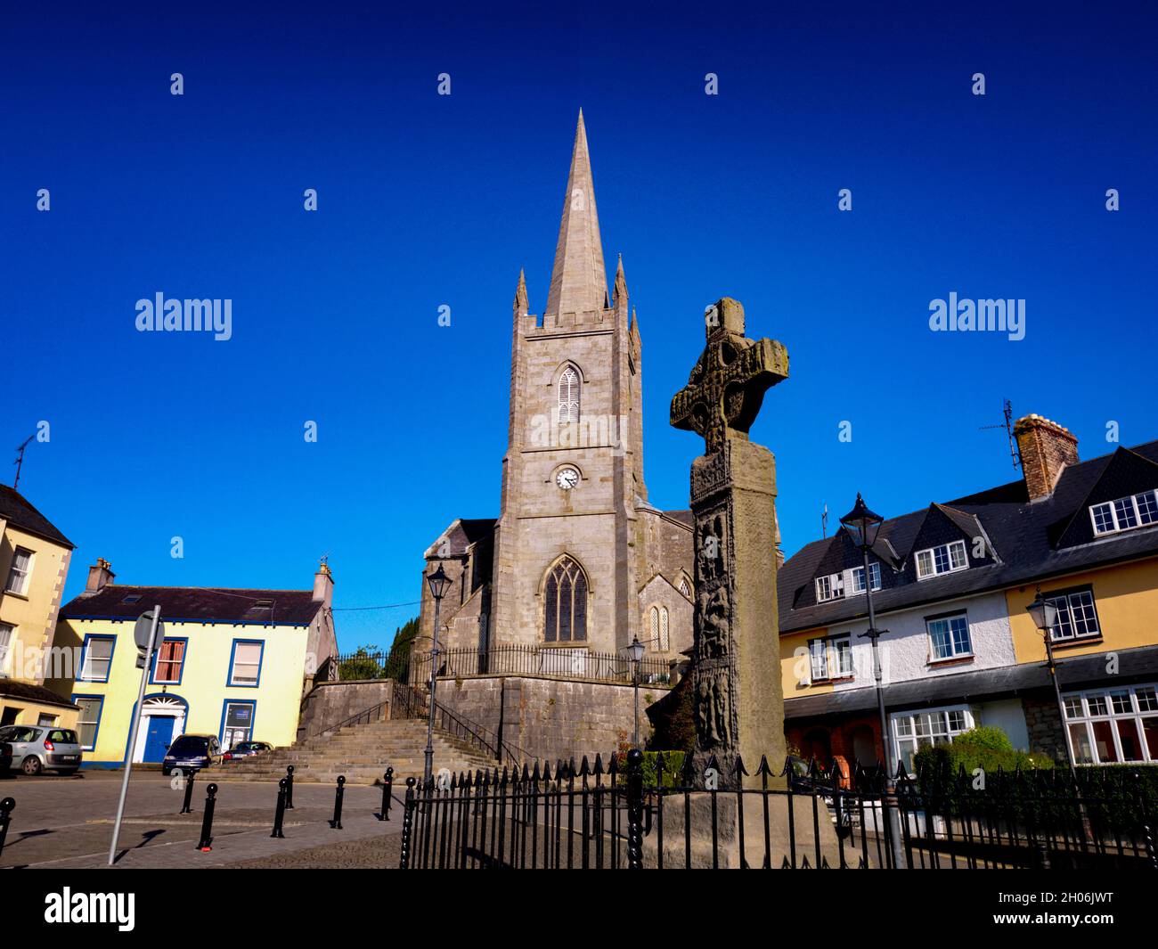 Embanked enclosureFairy fort / earthen ringfort · 1.6 mi
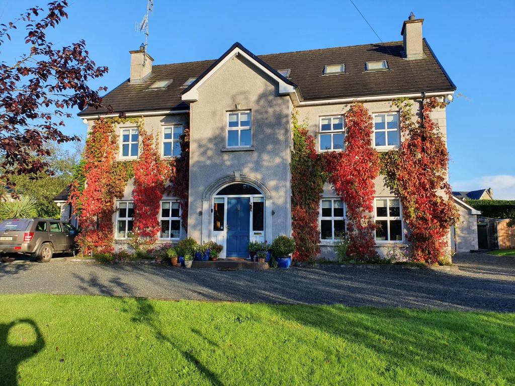 Knockamaddy Big WoodWood · 1.8 mi
 Battle of ClontibretBattlefield · 5.1 mi
 Lady Rossmore's Cottage (Ruin)Heritage attraction · 5.9 mi
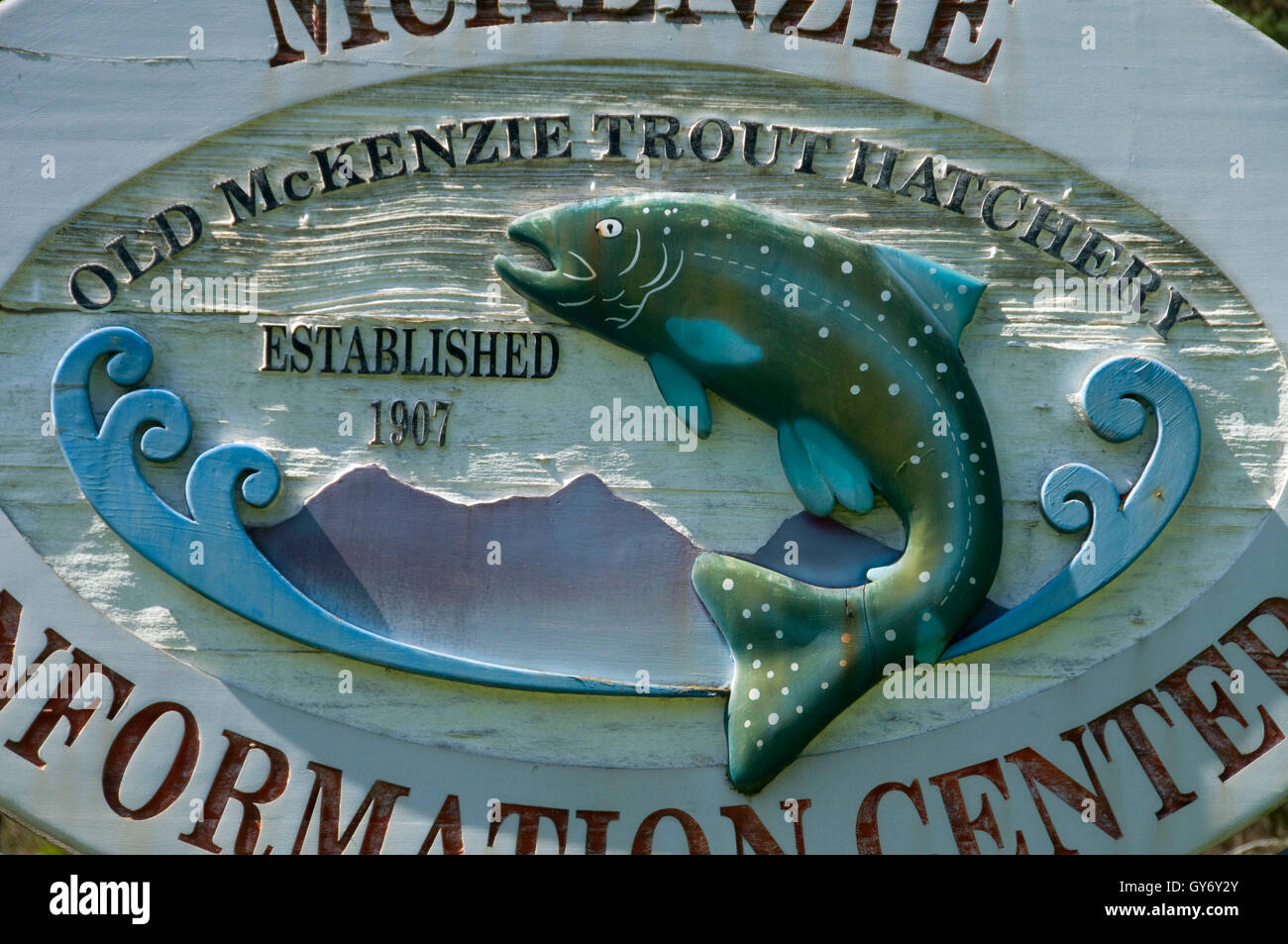 Old Fish HatcheryHeritage attraction · 5.9 mi
 LisnaspeenanMountain / peak · 6.2 mi
 Fedd HillMountain / peak · 6.5 mi
 Senator Billy Fox 1939 - 1974Memorial · 8.1 mi