What is recorded here
Mullaghunshinagh holds a subcircular earthen ringfort on a drumlin ridge in County Monaghan. People called it a fairy fort because the earthwork still looks like a hidden chamber rather than an ordinary farm boundary. The seam cuts through the middle of the platform, yet the inner bank, ditch and outer ridge remain visible enough to walk around.
Situated on the summit of an E-W drumlin ridge. This is a subcircular overgrown platform (dims 40m E-W; 33.4m N-S) defined by slight traces of a bank, an overgrow fosse (Wth of top 7.6-9m; Wth of base 1.6-2m; int. D 1.7-2m) and an overgrown outer earthen bank (Wth of base 4.2-6.2m; ext. H 1m). The monument is bisected by an E-W field bank from which a N-S field bank and drain extend N from the W side of the platform and another field bank extends S from the E side of the platform. There is an entrance through the inner bank (Wth of base 2m) and the outer bank at SE where it has been widened, with an intervening causeway (Wth of top 2.4m; H 1.4m).
The above description is derived from the published 'Archaeological Inventory of County Monaghan' (Dublin: Stationery Office, 1986). In certain instances the entries have been revised and updated in the light of recent research.
Date of revision: 29 August 2017
The monument record does not grant public access. Check the route and ask the landowner before entering private land.
- What survives
- Recorded monument
Places near here
 IndicatedFairy fort / ringfort · 837 yd
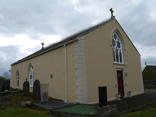 Saint Anne's Catholic Churchchurch/chapel · 1167 yd
 Grave Yd.Graveyard · 1186 yd
 water pumpwater pump · 1240 yd
 Mannan Castle (in ruins)Castle, Anglo-Norman masonry castle · 3.4 mi
 KnockreaghMountain / peak · 4.0 mi
 CastleCastle, unclassified · 4.3 mi
 TobernagalliaghSpring · 4.5 mi
 Battle of Newry Roadbattle · 4.9 mi
 MEDIEVAL & POST-MED. CHURCH & GRAVEYARD in Creggan Bane GlebeMEDIEVAL & POST-MED. CHURCH & GRAVEYARD · 5.0 mi
 Horse-chestnutHorse-chestnut · 5.3 mi
:no_upscale()/cdn.vox-cdn.com/uploads/chorus_asset/file/25593391/County_Louth_6th.jpg) LouthMountain / peak · 5.8 mi
LouthMountain / peak · 5.8 mi