What is recorded here
Mullaghroe North held a double-ramparted ringfort nearly fifty metres across, large enough to swallow a whole neighbourhood before humans learned to build circles. Bowman measured outer walls seven feet high and a nineteen-foot fosse in 1934, but local memory claims machines bit into that depth around 1982. The surviving earthen bank still catches rain and supports mature trees, turning ancient defence into a living green ridge above ordinary pasture.
In pasture, towards top of gentle S-facing slope. Depicted as hachured circular enclosure (diam. c. 50m) on 1842, 1904 and 1938 OS 6-inch maps. According to local information, partially levelled c. 1982. Circular area (51m E-W; 47.5m N-S) defined by earthen bank (int. H 1.3m; ext. H 1m) S->W, incorporated into field fence system with some stone facing on outer face; low rise (H 0.2m) elsewhere. Mature deciduous trees grow on bank. Bowman (1934, 267) describes site as double-ramparted (diam. c. 32yd), on D. O'Leary's land, with outer rampart 5 to 7ft H, inner rampart c. 7ft H from base of fosse and intervening fosse 19ft wide.
The above description is derived from the published 'Archaeological Inventory of County Cork. Volume 4: North Cork' (Dublin: Stationery Office, 2000). In certain instances the entries have been revised and updated in the light of recent research.
Date of upload/revision: 14 January 2009
A fairy fort or earthen ringfort in Mullaghroe North, likely dating to the early medieval period, is represented on historic Ordnance Survey maps as a circular enclosure approximately 50 metres in diameter. Local tradition and folklore associate such sites with the supernatural, often considered habitats of the fairies or ancient spirits in Irish tradition.
The monument record does not grant public access. Check the route and ask the landowner before entering private land.
- What survives
- Recorded monument
Places near here
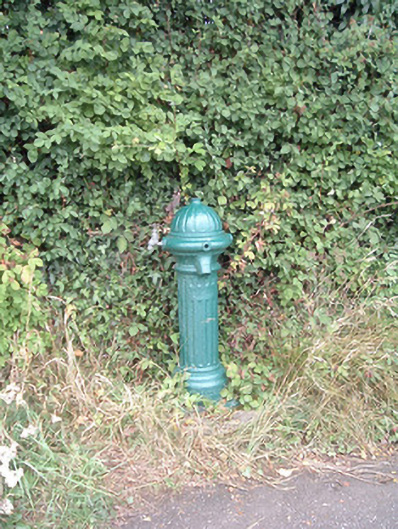 water pumpwater pump · 348 yd
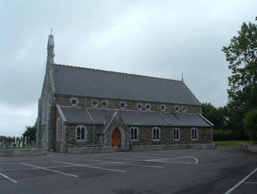 Church of the Immaculate Conceptionchurch/chapel · 505 yd
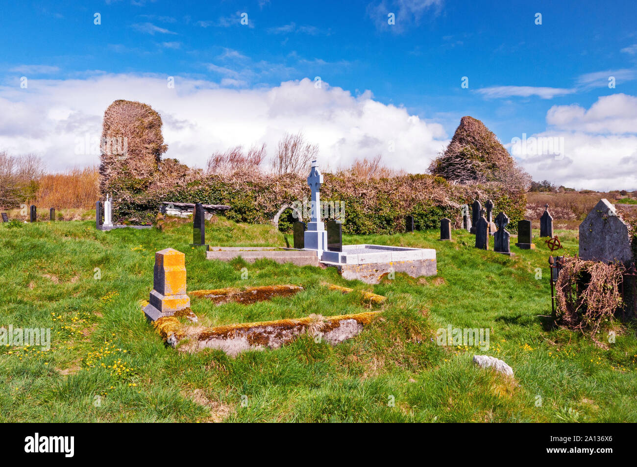 Ritual siteRitual site, holy/saint's stone · 889 yd
 Fulacht fia in EuglauneFulacht fia · 1080 yd
 Dromsicane Castle (in Ruins)Bawn · 3.7 mi
 Nohaval WoodWood · 3.8 mi
 Castle and TurretCastle, tower house · 4.5 mi
 Millstreet Museum & Tourist Information CentreMuseum · 4.9 mi
 Claragh Loop (Trailhead 99)Visitor information · 4.9 mi
 Millstreet Tourist InformationVisitor information · 4.9 mi
 Claragh MountainMountain / peak · 5.2 mi
 RowanRowan · 5.7 mi