What is recorded here
Fairy fort / earthen ringfort in Mullaghfarna is a fairy fort or earthen ringfort in Mullaghfarna, County Sligo, Ireland. It occupies a NE-facing slope with views over Lough Arrow and appears on the 1914 OS map as an arc of hachures. The subcircular site measures about 25m NE-SW and 30m NW-SE, holding a low bank and possible outer bank within long grass, brambles and hawthorn.
In pasture, straddling a break of slope on a NE-facing slope, with excellent views over Lough Arrow to E. Indicated on the 1914 OS 6-inch map by an arc of hachures SW-NE. Remains consist of a subcircular area (c. 25m NE-SW; c. 30m NW-SE) of uneven ground engulfed in long grass, brambles and hawthorn bushes and truncated at SW by a field boundary bordering a road. Low remains of a bank (Wth c. 2m; ext. H c. 0.5m) are evident in an arc W-NE, marked by a denser band of overgrowth. A linear band of field clearance debris engulfed in overgrowth completes the circuit E-S. The NE portion of the interior retains a slight slope even though it has been raised to compensate for the hillslope. Outside the bank N-NE, at a distance of c. 3.5m, is a raised band of dense overgrowth, possibly the remains of an outer bank though it does appear to merge with the inner bank at NW.
The above description is derived from the published 'Archaeological Inventory of County Sligo' compiled by Ursula Egan, Elizabeth Byrne, Mary Sleeman with Sheila Ronan and Connie Murphy (Dublin Stationery Office, 2005).
Date of upload: 18 January 2008
The monument record does not grant public access. Check the route and ask the landowner before entering private land.
- What survives
- Recorded monument
Places near here
 Cave (Site of)Man-made underground passage · 462 yd
 Indicated (1838).Fairy fort / stone ringfort · 619 yd
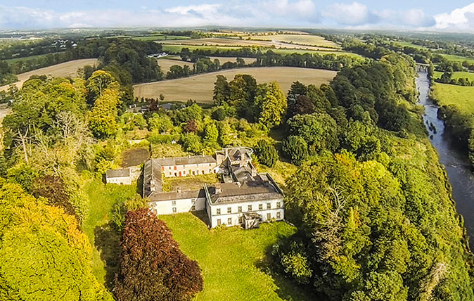
 Hollybrook Housecountry house · 910 yd
 Bricklieve MountainsMountain / peak · 1.0 mi
 Annaghgowla IslandIslet · 1.1 mi
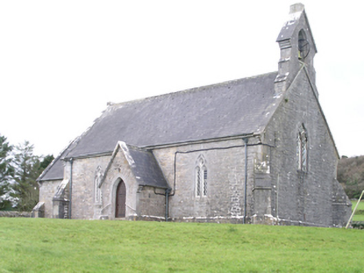 Aghanagh Churchchurch/chapel · 1.1 mi
 TumulusCastle, motte · 1.2 mi
 InishmoreIslet · 1.3 mi
 Carricknahorna EastMountain / peak · 1.3 mi
 Castle BaldwinCastle · 1.3 mi
 Treanscrabbagh caveCave · 1.6 mi
 Loughbrick BayBay · 2.0 mi