What is recorded here
Fairy fort in Moyleen, County Galway: a worn earth ring, thirty-five metres across, with two banks and a hollow between them. Its northeast gap is little more than two metres wide, yet it still points inward like an invitation. Cattle may have grazed it for centuries, and people may have forgotten what it was before remembering it as a home for unseen neighbours. The earth does not need belief to be strange; it only needs time and silence.
In undulating pastureland. This poorly preserved roughly circular rath (diam. c. 35m) is defined
by two banks and an intervening fosse. The inner bank is clearly visible. The fosse survives from NE to SSW and the outer bank is evident from NE to SSE. It is overlain by a field boundary from E to SSE. Another field boundary cuts through the monument at WSW and ENE. There is a causewayed entrance gap (Wth 2.2m) at NE. A Man-made underground passage (GA105-171001-) is associated.
Compiled by: Galway Archaeological Survey, UCG
Date of upload: 27 February 2018
The monument record does not grant public access. Check the route and ask the landowner before entering private land.
- What survives
- Recorded monument
Places near here
 CaneArchaeological place · 1 yd
 Field system in CarnField system · 789 yd
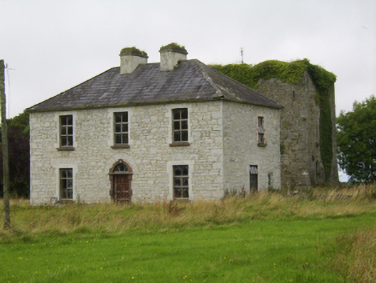 Ballybroder Househouse · 1113 yd
 KilnKiln, lime · 1.1 mi
 Ballygasty Castle in ruinsCastle, unclassified · 1.7 mi
 Bush IslandIslet · 2.0 mi
 Middle IslandIslet · 2.0 mi
 Drought Castle (in Ruins)Castle, tower house · 2.0 mi
 Long PointHeadland · 2.2 mi
 Dartfield Horse MuseumHeritage attraction · 2.3 mi
 Turoe StoneHeritage attraction · 3.3 mi
 Quarryhill WoodWood · 8.2 mi