What is recorded here
Fairy fort / earthen ringfort in Moydough is a fairy fort or earthen ringfort in Moydough, County Sligo, Ireland. The site sits on a broad flat-topped knoll overlooking the Owenmore River about 100m to the south. Quarrying removed the northwest half, leaving a raised D-shaped platform where a high curving scarp and external fosse remain visible on the northeast and southwest sides. Hawthorn, blackthorn and brambles now engulf parts of the curving scarp and the outer edge of the fosse.
On top of a broad flat-topped knoll, overlooking the Owenmore River c. 100m to S. The NW half of this rath has been quarried away. The remains consist of a substantially raised D-shaped platform (dims. 16m NNW-SSE) defined on the straight NW side (L 23.5m ENE-WSW) by a quarry and NE-WSW by a high curving scarp (H 2.7m) with external fosse (Wth c. 8.5m; D 1.9m). The curving scarp is engulfed in hawthorn and blackthorn bushes and brambles. The fosse survives N-E as a shallow depression (Wth 4.7m; D 0.6m) but E-SW it is broad, flat-bottomed and dug deeply into the top of the knoll close to break of slope so that immediately outside the fosse the ground falls away in a steep natural slope. The outer edge of the fosse E-S is engulfed in brambles and thorn bushes. The straight side of the platform consists of an irregular, slumped, grass-covered scarp (H 1.55m) the result of quarrying. A curving undulation is evident NNW-NNE, 18m to NNW of the quarry scarp, and may indicate the line of the fosse on this side. The intervening quarried space, between this undulation and the remains of the interior, is slightly sunken and has an uneven surface.
The above description is derived from the published 'Archaeological Inventory of County Sligo' compiled by Ursula Egan, Elizabeth Byrne, Mary Sleeman with Sheila Ronan and Connie Murphy (Dublin Stationery Office, 2005).
Date of upload: 18 January 2008
The monument record does not grant public access. Check the route and ask the landowner before entering private land.
- What survives
- Recorded monument
Places near here
 Indicated (1838).Fairy fort / earthen ringfort · 443 yd
 IndicatedFairy fort / earthen ringfort · 774 yd
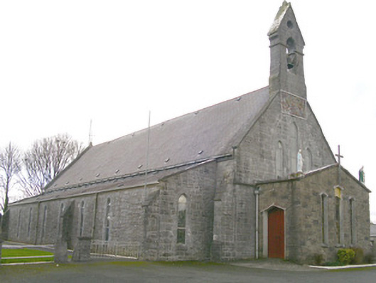 Saint Patrick's Catholic Churchchurch/chapel · 1220 yd
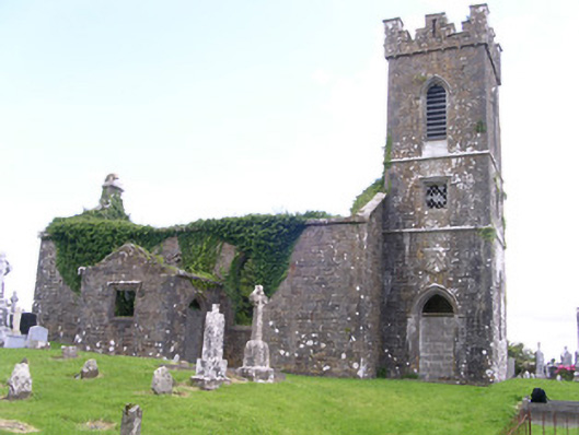 Gorteen Church (Kilfree)church/chapel · 1341 yd
 Moygara Castle (in Ruins)Bawn · 2.3 mi
 Moygara CastleCastle · 2.3 mi
 Crow IslandIslet · 3.9 mi
 Caves of KeshCave · 4.5 mi
 Inch IslandIslet · 4.5 mi
 Castle PointHeadland · 4.6 mi
 Curlew MountainsMountain / peak · 4.9 mi
 Kesh CorannMountain / peak · 5.0 mi