What is recorded here
Moyadda More holds a genuine earthen ringfort mislabeled as a fairy fort, proving that human hands built the boundary before folklore renamed it. The ridge survives because people shaped it, lived beside it and forgot the exact names of those who sweated on the soil. Fairy stories arrive later, attracted to odd shapes and abandoned places, but the earth remembers the difference between a made wall and an imaginary one.
The Archaeological Survey of Ireland (ASI) is in the process of providing information on all monuments on The Historic Environment Viewer (HEV). Currently the information for this record has not been uploaded. To access available information for research purposes please make an appointment in advance with the Archive Unit (open Fridays 10.00 am – 5.00 pm), Department of Housing, Local Government and Heritage, The Custom House, Dublin 1 D01W6XO or email NMarchive@housing.gov.ie.
The monument record does not grant public access. Check the route and ask the landowner before entering private land.
- What survives
- Recorded monument
Places near here
 Enclosure in BallykettEnclosure · 793 yd
 Enclosure in RapeparkEnclosure · 1500 yd
 IndicatedCastle, unclassified · 1.2 mi
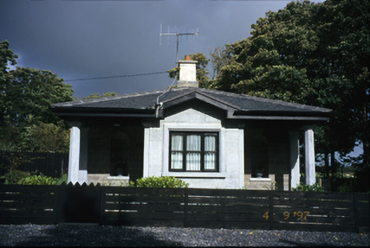 Kilrush Housegate lodge · 1.7 mi
 Saint Senan's Catholic Churchchurch/chapel · 1.8 mi
 Vandeleur Walled GardenHeritage attraction · 1.9 mi
 St Senan's WellSpring · 2.1 mi
 The Museum of Irish Rural LifeMuseum · 2.2 mi
 St. Senan's WellSpring · 2.4 mi
 Ballymacrinan BayBay · 3.1 mi
 Mall PointHeadland · 4.0 mi
 Castle (in Ruins)Castle, unclassified · 4.2 mi