What is recorded here
Moyadd holds a forty-metre earthen ring beside a marsh, where a solid bank and shallow scarp still draw an unbroken circle through damp ground. The name Fairy fort suggests people once believed the shape belonged to something else, but the measured banks and dug fosse point to human hands building a defensible home or marker in difficult terrain. Modern spoil has buried part of the interior, yet the remaining curve resists forgetting.
Situated in a low lying marshy area. A circular area (C c. 40m N-SE) defined by a bank from NW-NNW, and a scarp (H c. 0.4m) from NNW-E. An intervening fosse (Wth c. 3.5m) and outer bank (Wth c. 4.1m, int. H c. 0.35m, ext. H c. 0.25m) are visible from N-E. Possible entrance at E. Spoil, probably resulting from the construction of a nearby silage tank, has been piled in the SW quadrant of the interior.
The above description is derived from the published 'Archaeological Inventory of County Laois' (Dublin Stationery Office, 1995) compiled by P. David Sweetman, Olive Alcock and Bernie Moran. In certain instances the entries have been revised and updated in the light of recent research.
Date of upload: 17 December 2007
The monument record does not grant public access. Check the route and ask the landowner before entering private land.
- What survives
- Recorded monument
Places near here
 Fleming's Fireclaysworker's house · 1035 yd
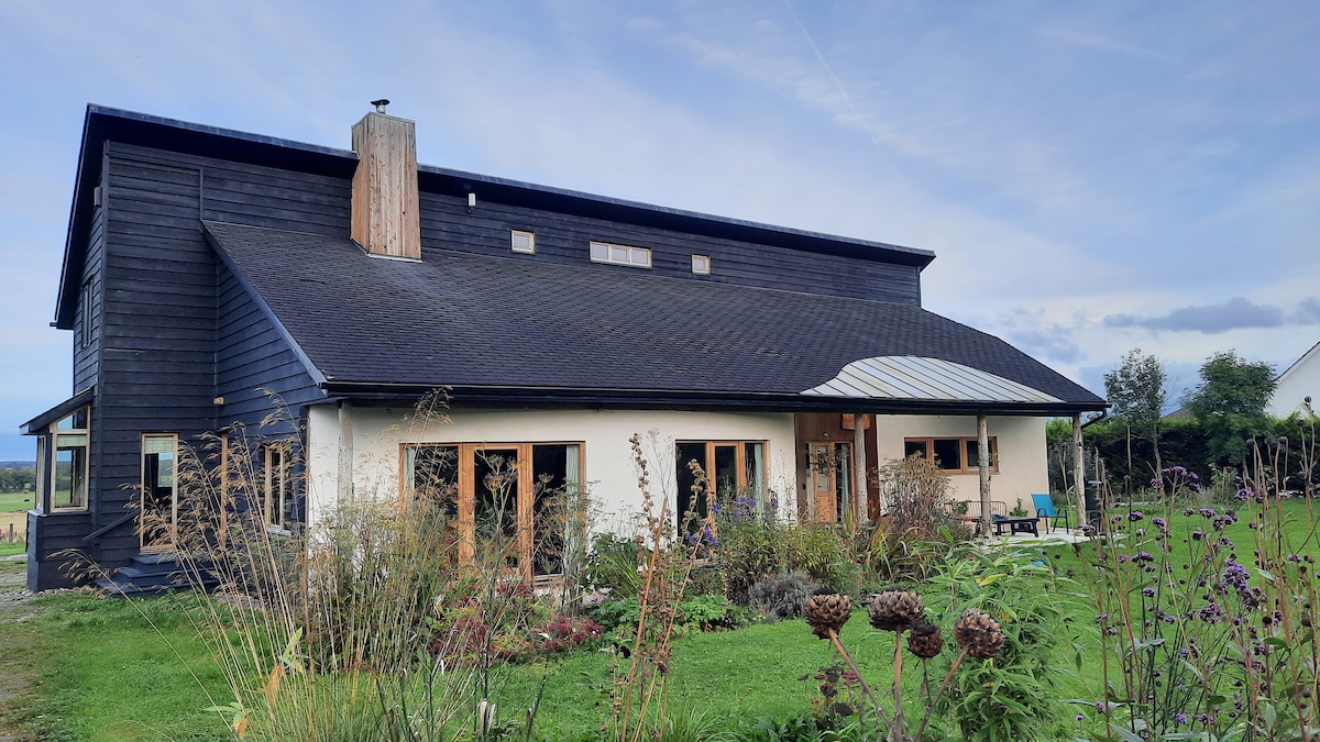 Enclosure in Slatt LowerEnclosure · 1683 yd
 Enclosure in AghadreenEnclosure · 1.1 mi
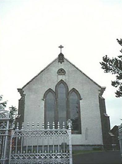 Saint Mary's Catholic Churchchurch/chapel · 2.0 mi
 CastleCastle, unclassified · 2.8 mi
 Moat Castle in ruinsCastle, unclassified · 4.3 mi
 European ashEuropean ash · 4.3 mi
 BlackthornBlackthorn · 4.3 mi
 Kilgorey Old BurialVisitor information · 4.9 mi
 Timahoe Church and Round TowerVisitor information · 4.9 mi
 DM PenderMemorial · 7.3 mi
 Mass Rock WalkWalking route · 7.7 mi