What is recorded here
Fairy fort / earthen ringfort in Mountplunkett is a fairy fort or earthen ringfort in Mountplunkett, County Roscommon, Ireland. The subcircular site sits towards the bottom of a southeast-facing slope and measures thirty-nine metres north-northeast to south-southwest by thirty-one point two metres west-northwest to east-southeast. An earthen bank and rounded outer fosse define the overgrown area, though no original entrance remains identifiable. Three other raths lie within one hundred and ninety metres in the northeast, southwest and northwest directions.
Towards the bottom of a SE-facing slope. Subcircular overgrown area (dims. 39m NNE-SSW; 31.2m WNW-ESE) defined by an earthen bank (at SW: Wth 4.5m; int. H 0.45m; ext. H 1.35m) and a rounded outer fosse (at SW: Wth of top 6.7m; Wth of base 3m; ext. D 0.9m at SW). There is no identifiable original entrance. Raths (RO042-111001-; RO042-110----; RO042-160----) ar c. 50m, c. 190m and c. 70m to the NE, SW and NW respectively.
Compiled by: Michael Moore
Date of upload: 24 August 2010
The monument record does not grant public access. Check the route and ask the landowner before entering private land.
- What survives
- Recorded monument
Places near here
 IndicatedFairy fort / earthen ringfort · 94 yd
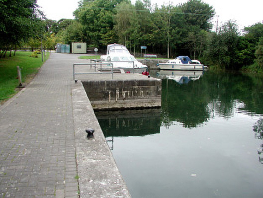 harbour/dock/portharbour/dock/port · 1229 yd
 St. Johns WellHoly well · 1257 yd
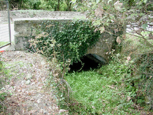 bridgebridge · 1365 yd
 Blackbrink BayBay · 1370 yd
 Black RockNamed rock · 1.4 mi
 St. John's WoodWood · 1.6 mi
 Galey CastleCastle, tower house · 1.7 mi
 Dogs IslandIslet · 1.9 mi
 Sedgy IslandIslet · 2.3 mi
 CastleCastle, tower house · 2.4 mi
 Hangman's HillMountain / peak · 2.5 mi