What is recorded here
Fairy fort / earthen ringfort in Mountplunkett is a fairy fort or earthen ringfort in Mountplunkett, County Roscommon, Ireland. Two other raths stand within 100m to the SW and WNW. The circular earthwork has an inner bank, rounded fosse and outer bank, but no identifiable original entrance. Deciduous trees now cover the 36.7m by 34.2m area on the SE-facing slope.
Towards the bottom of a SE-facing slope. Circular overgrown area with deciduous trees (diam. 36.7m NW-SE; 34.2m NE-SW) defined by an overgrown earthen bank (at NE: Wth 5m; int. H 0.5m; ext. H 1m) separated by a complete rounded fosse (at NE: Wth of top 6.2m; Wth of base 1.1m ; D 1.15m) from an outer overgrown bank (at NE: Wth 5.8m; ext. H 0.95m) N-E-SSW. There is no identifiable original entrance. Rath (RO042-111002-) is c. 50m to the SW and rath (RO042-160----) is c. 100m to the WNW.
Compiled by: Michael Moore
Date of upload: 24 August 2010
The monument record does not grant public access. Check the route and ask the landowner before entering private land.
- What survives
- Recorded monument
Places near here
 IndicatedFairy fort / earthen ringfort · 137 yd
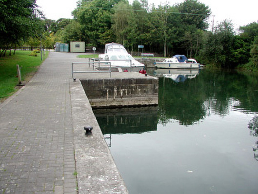 harbour/dock/portharbour/dock/port · 1269 yd
 St. Johns WellHoly well · 1292 yd
 Blackbrink BayBay · 1306 yd
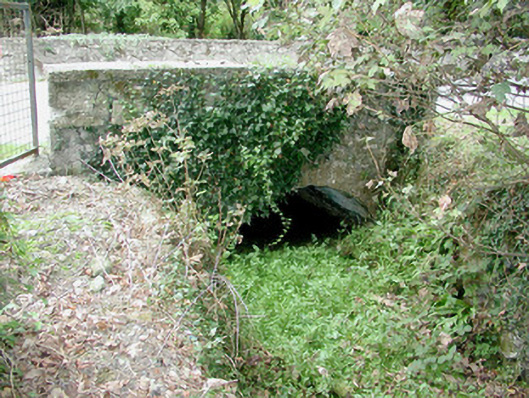 bridgebridge · 1410 yd
 Black RockNamed rock · 1.3 mi
 St. John's WoodWood · 1.6 mi
 Galey CastleCastle, tower house · 1.7 mi
 Dogs IslandIslet · 1.8 mi
 Sedgy IslandIslet · 2.3 mi
 CastleCastle, tower house · 2.5 mi
 Hangman's HillMountain / peak · 2.6 mi