What is recorded here
Fairy fort / earthen ringfort in Mountplummer is a roughly circular earthwork in County Limerick, Ireland, with a scarped edge, bank, fosse and eastern gap. Scrub and briars still cover much of it, while a field boundary crosses part of the bank. The shape suggests a place set aside, entered through the east and hidden again by growing things.
In area of scrub woodland between pasture field to S and stream to N. Roughly circular area (42m N-S) defined W->N by scarped edge (H 2.1m; Wth 3m) and enclosed by earthen bank N->W (int. H 0.6m; ext. H 1.35m), with external fosse (D 0.25m; Wth 1.6m) SE->SSW; enclosing element covered throughout by dense overgrowth of bushes. Bank overlain by field boundary SE->SSW. Gap in bank (Wth c. 7m) at E; a field boundary skirts close to bank on E side. Level interior is masked by dense overgrowth of briars and bushes.
Compiled by: Denis Power
Date of upload: 26 August 2011
The monument record does not grant public access. Check the route and ask the landowner before entering private land.
- What survives
- Recorded monument
Places near here
 Glenduff CastleCastle, tower house · 1627 yd
 IndicatedFairy fort / earthen ringfort · 1.2 mi
 Killagholehane Church (in ruins)Church · 1.2 mi
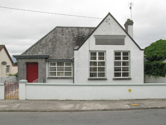 Broadford Carnegie Librarylibrary/archive · 1.2 mi
 BarrowBarrow, ring-barrow · 2.1 mi
 Castle (in ruins), Springfield CastleCastle, tower house · 2.2 mi
 Mullaghareirk - Banane LoopWalking route · 2.7 mi
 Ballagh MountainMountain / peak · 3.7 mi
 National Co-op MuseumMuseum · 4.1 mi
 Saint Ite's WellSpring · 4.2 mi
 ToberhoranSpring · 4.3 mi
 Rock HillMountain / peak · 5.0 mi